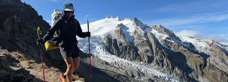
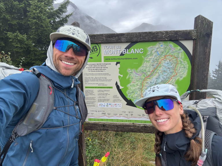
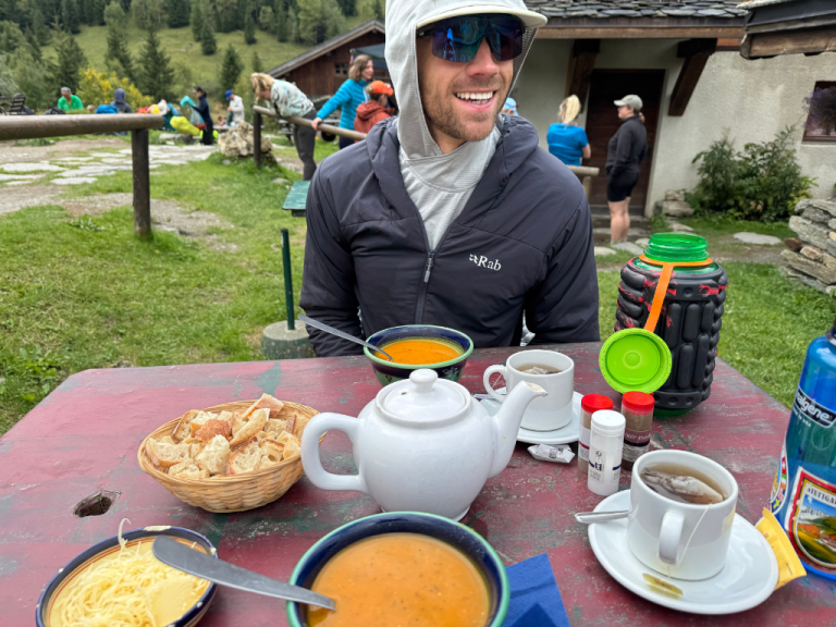
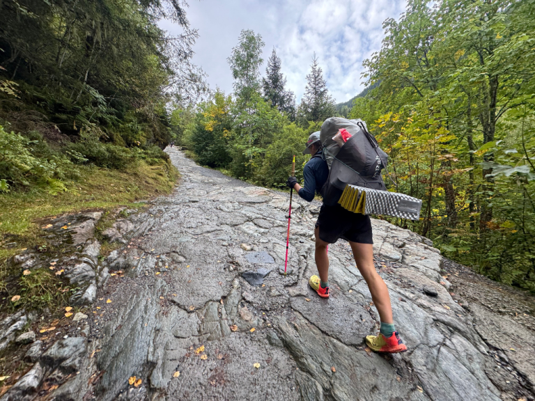
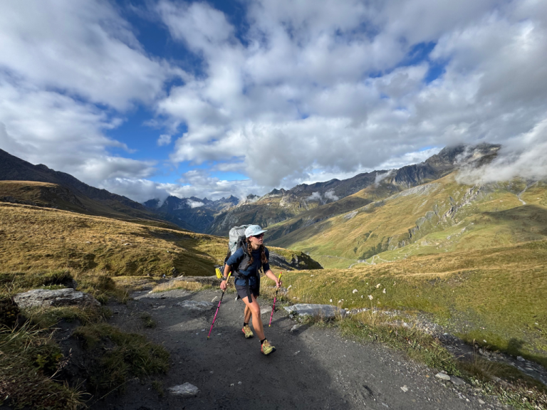
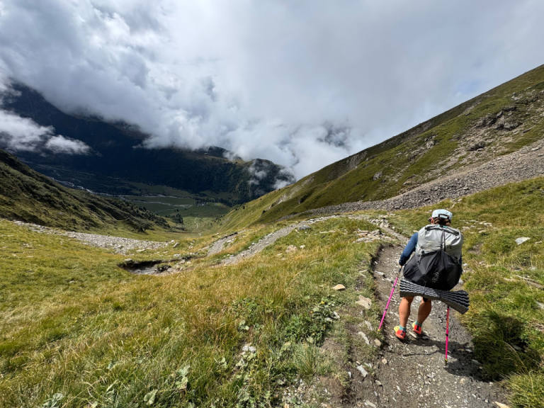
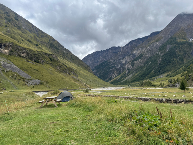
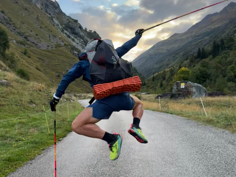
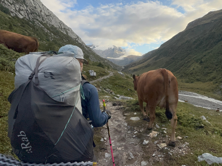
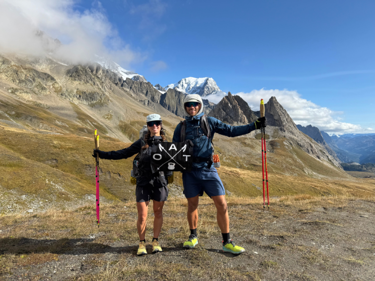
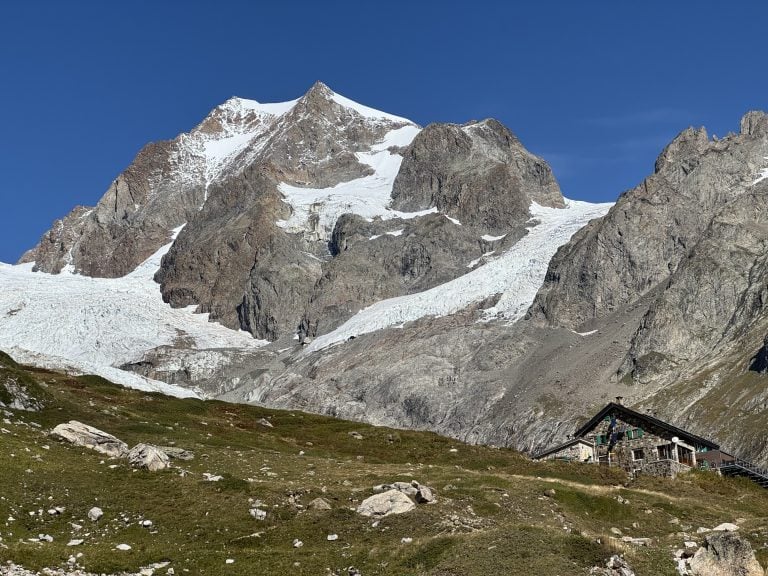
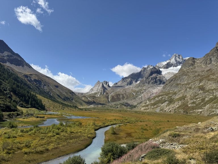
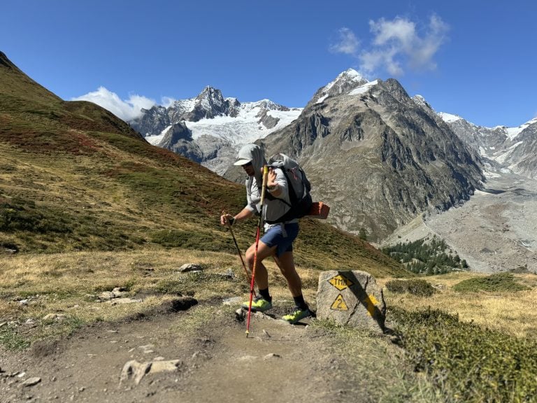
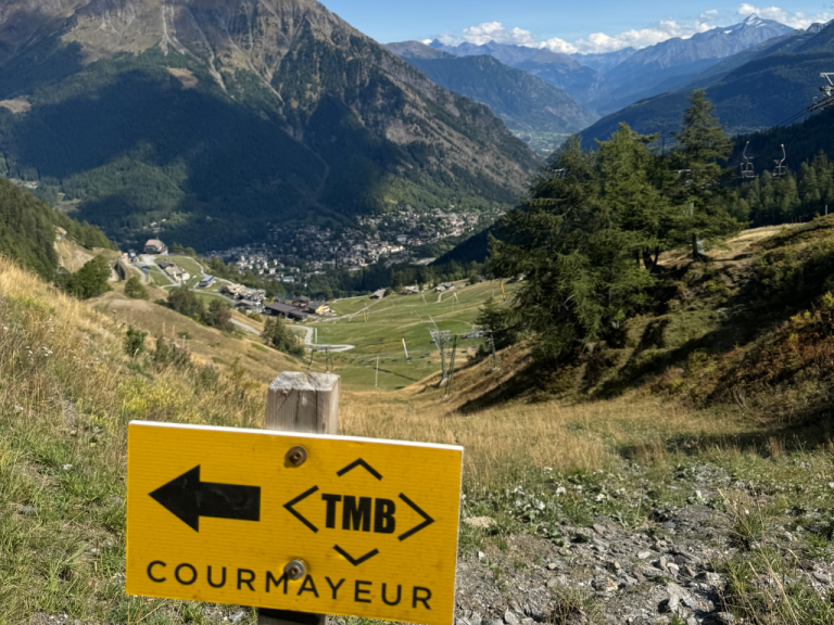
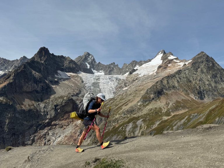
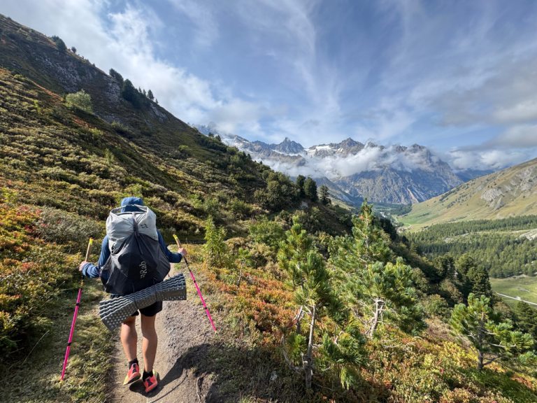
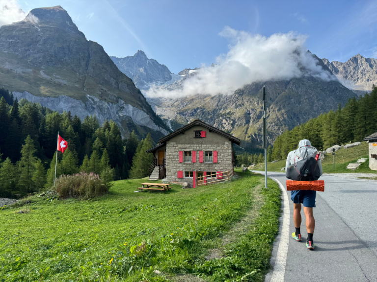
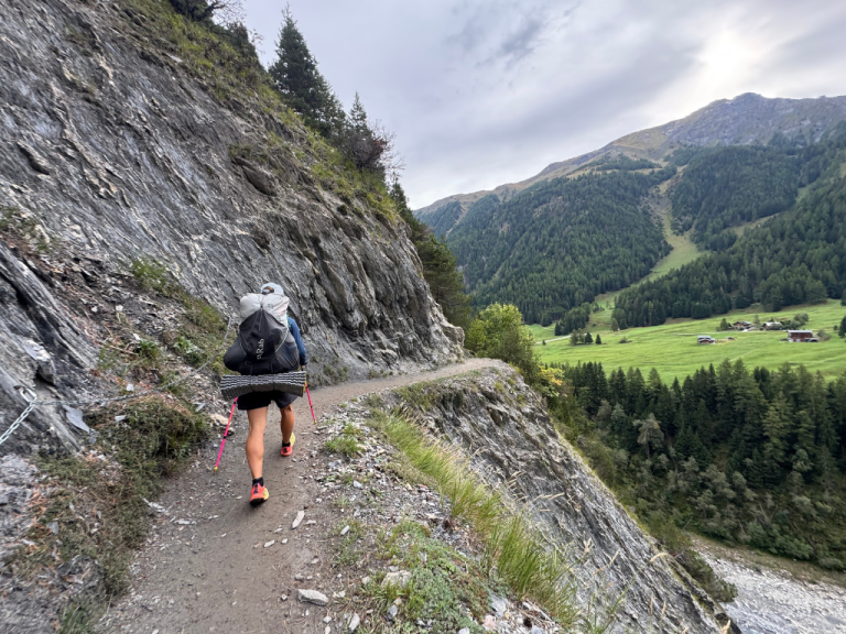
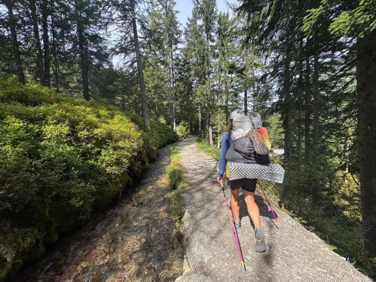
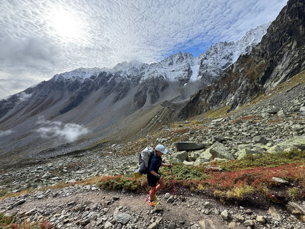
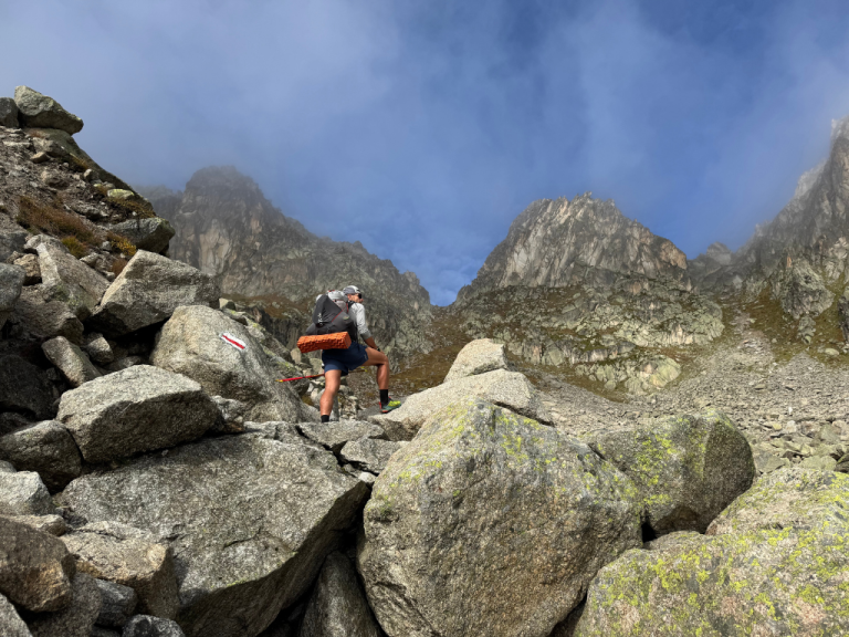
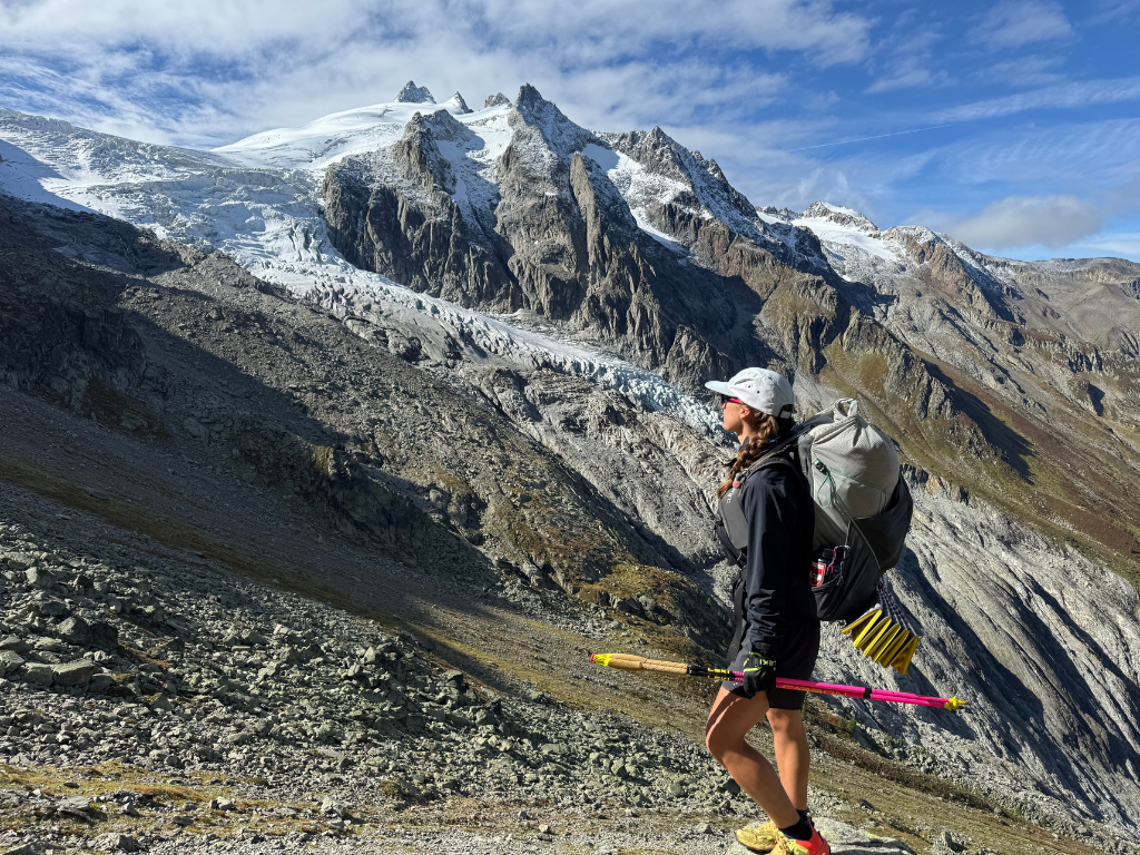
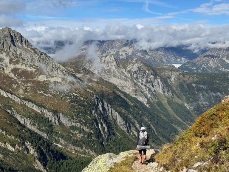
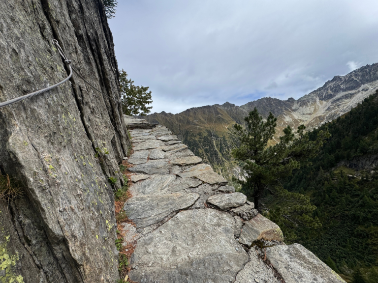
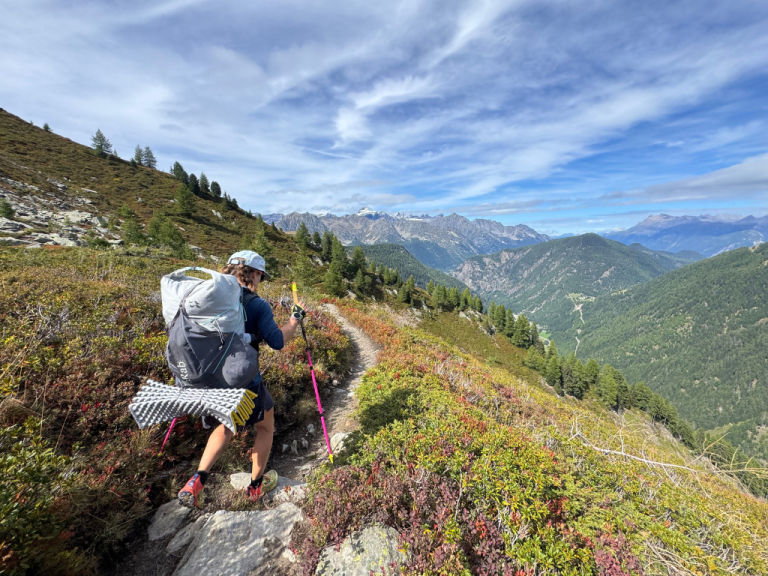
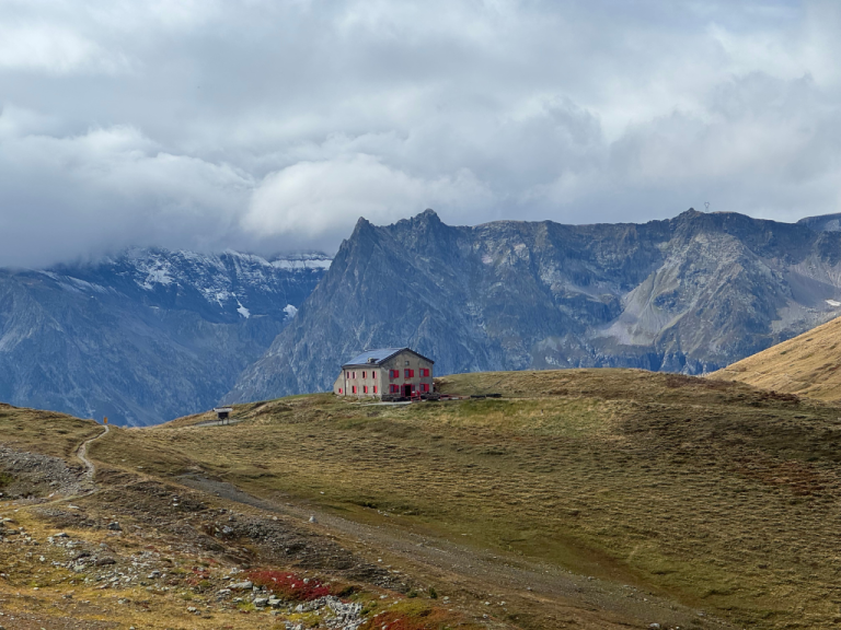
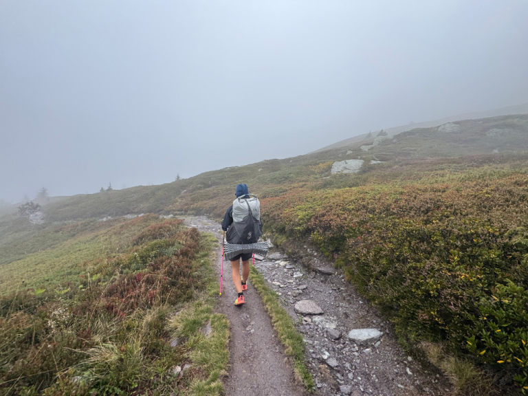
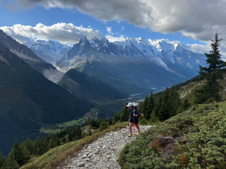
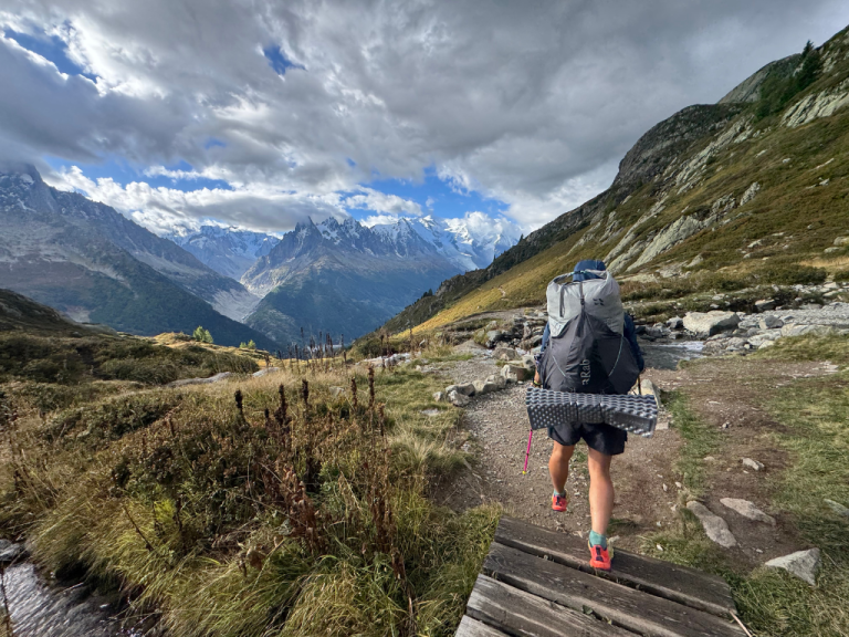
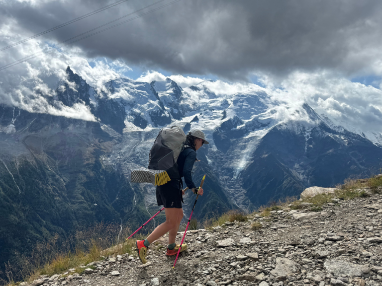
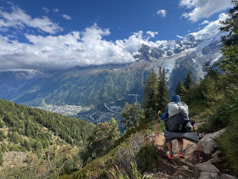
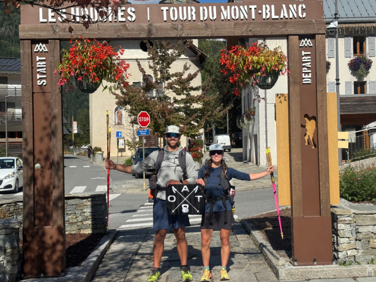
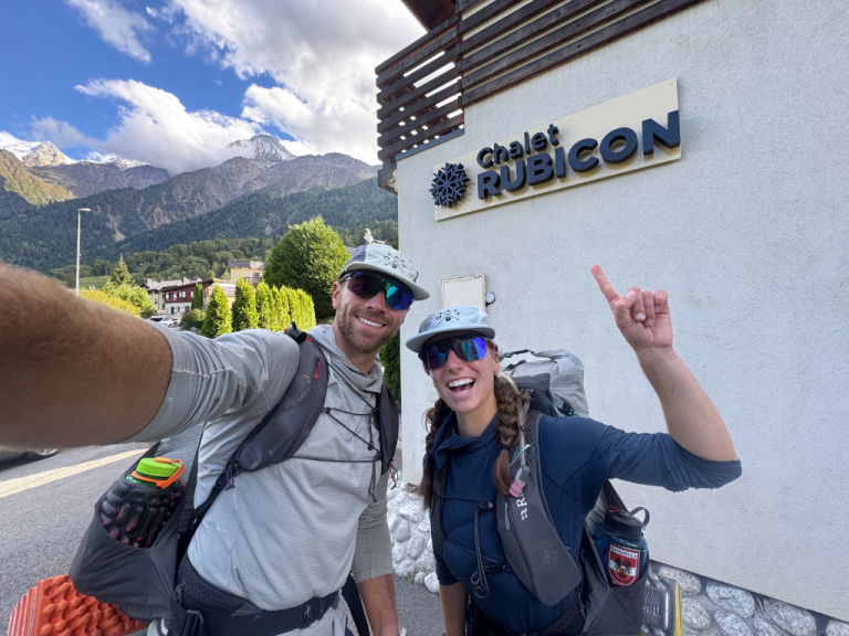
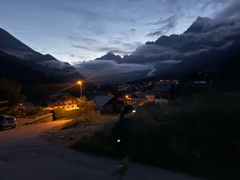
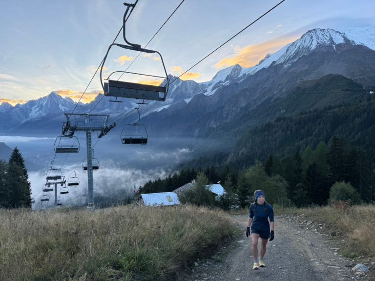
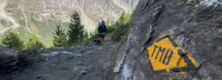
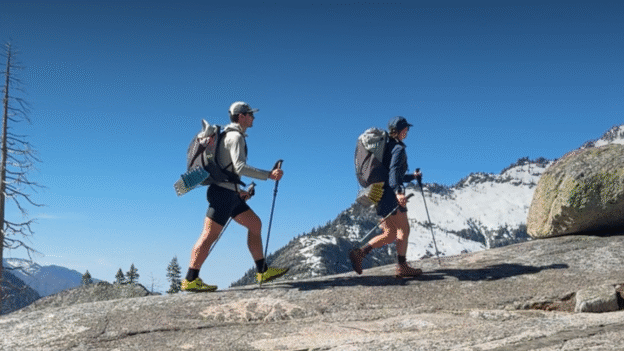
Tour du Mont Blanc


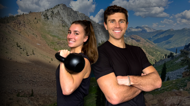
Trail Ready Challenge
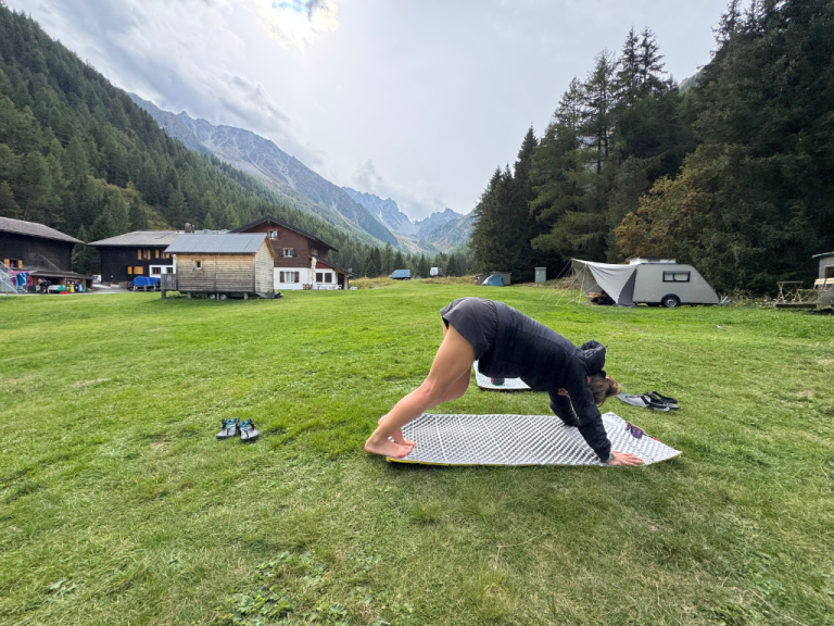
11-day workout series to build strength and stability for the trail.
Learn More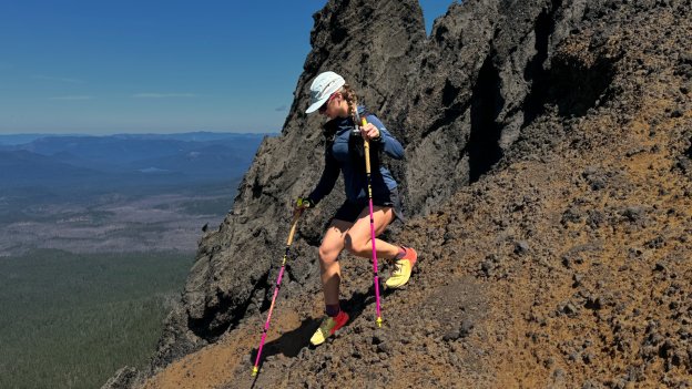

Nutrition Coaching
Performance nutrition for recovery, energy, and long-term outdoor longevity.
Learn More