
The Hard Decision
Facing the realities of mountaineering
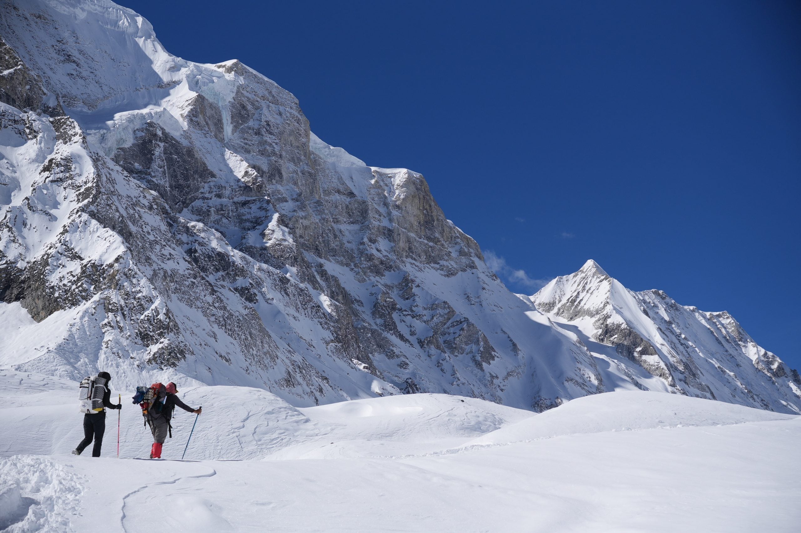
Each step was agony as we trudged our way up Samdo Ri. After a fitful night of blowing my nose and hacking, I couldn't ignore the obvious anymore: I was sick. The cold, dry air at 3,960 m (13,000 ft) burned my lungs, and I gripped my trekking poles with each step just to stay upright. With our first big acclimatization hike to Manaslu Base Camp canceled due to heavy snow, this one carried even more weight if we wanted the slightest chance of reaching our ultimate objective, Larkya Peak at 6,249 m (20,502 ft).
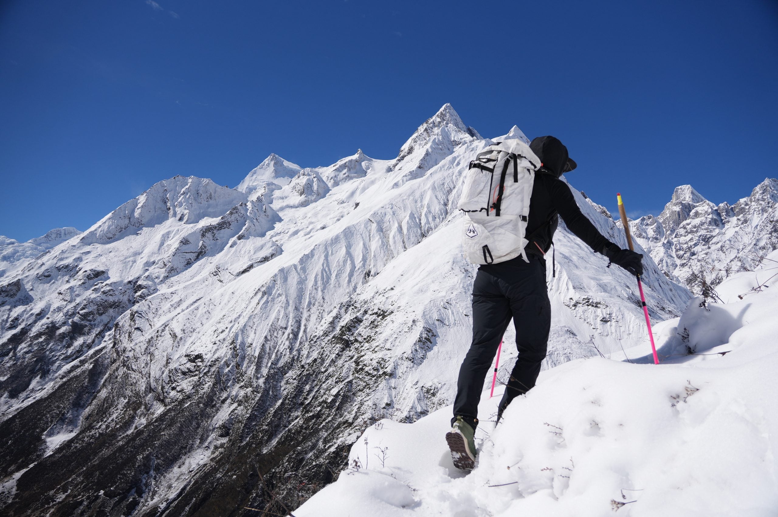
Over a foot of new snow blanketed the steep, shrub-covered slopes. With the trail completely buried, we did our best to find the path of least resistance and set our own route to gain as much altitude as possible. The snow wouldn't support our weight, and we frequently punched through to the earth, well above our knees. After an hour of struggling to 4,176 m (13,700 ft), we made the decision to turn around as the snow grew ever deeper. The constant urge to sit down on the ground made it even more evident that I had no business being out there that day. We stumbled back to our small room in Samdo, where I crawled into my sleeping bag and groaned in agony. A runny nose, chills, and a never-ending stream of phlegm had my mind racing about how the rest of the trip would pan out.
Emily kept me as comfortable as she could with veg noodle soup, ginger lemon honey tea, and paracetamol. I had many hours to study every crack and cobweb on the dirty, unfinished ceiling. When I asked Kishor, our guide, for a nasal decongestant, he didn't have one. We asked if there was an expedition first aid kit, and there was not. With only our personal kits to rely on, it was one more variable to factor in.
Later that evening, Kishor came in and said, "One more night here, then go up." As disappointed as I was, I knew it was the right call. In the shape I was in, I would be more of a liability than an asset as we moved further along the Manaslu Circuit to Larkya Peak Base Camp.
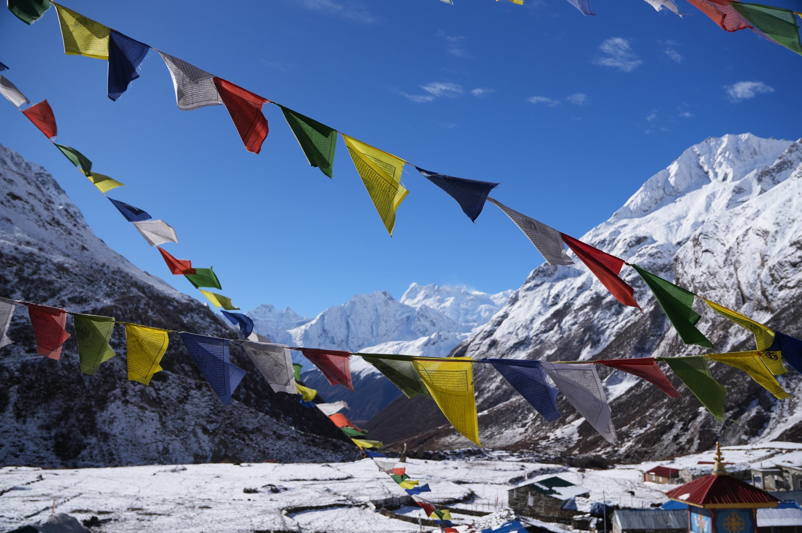
We were officially stuck in Samdo. I woke up the next morning feeling a bit better and ready for an easy recovery walk on the trail toward the Tibetan border. Even if I had been 100%, we weren't going to make it very far through the deep snow from the recent cyclone. We gained only about 180 m (600 ft), topping out around 4,100 m (13,450 ft). We walked slowly, stayed hydrated, and enjoyed the views while we could. Until this point, Emily had stayed healthy, but then she felt a tickle in the back of her throat. Uh-oh. Was she going to get the same illness I had?
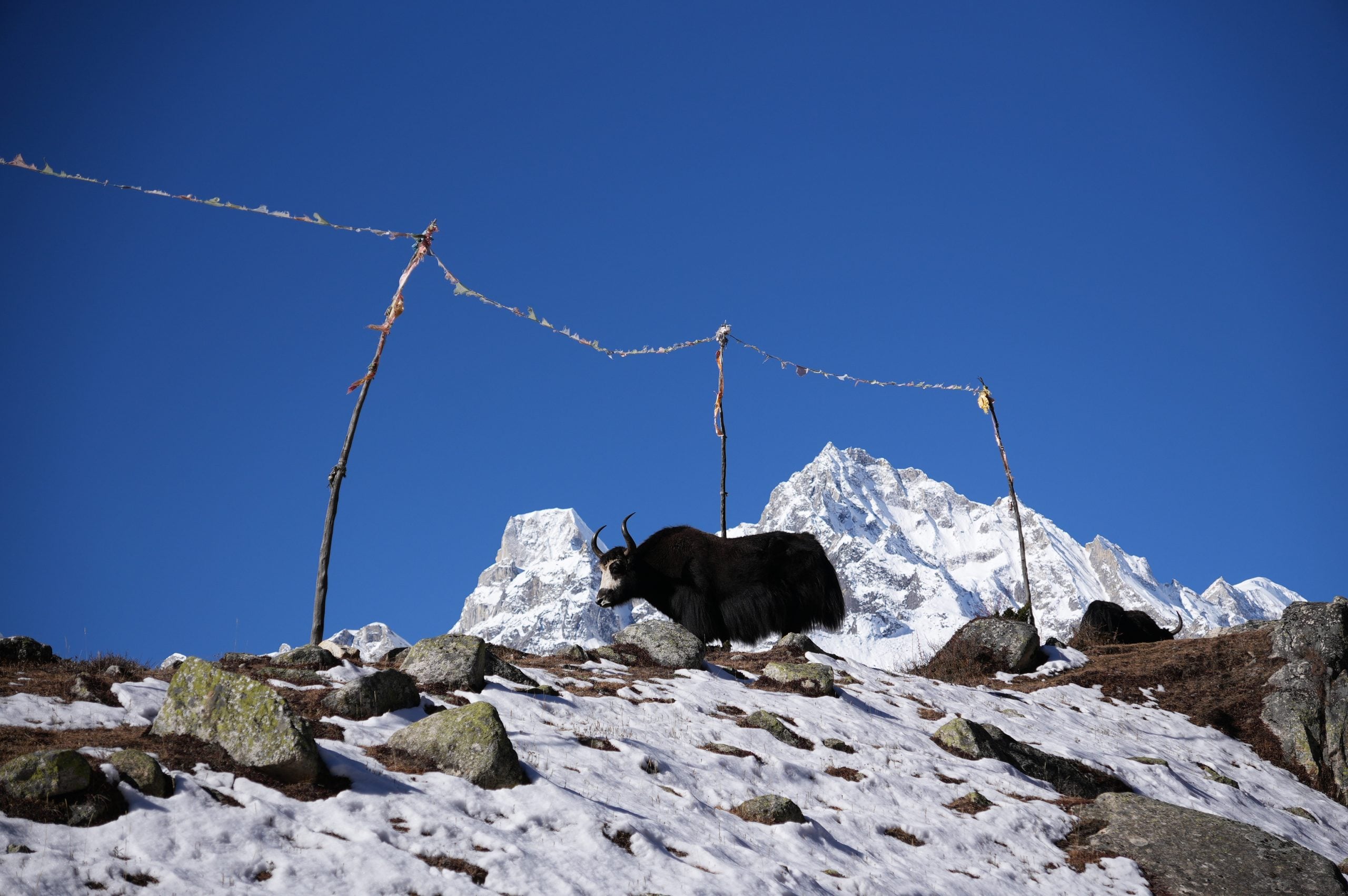
The next morning, we planned to walk to Dharmasala, the final accommodation before moving up to Larkya Peak Base Camp. Emily woke up feeling how I had a couple of days prior, struggling to stay upright and wrestling with the deep apathy that only exists at high altitude. But the trooper that she is, a little coffee and veg noodle soup for breakfast gave her just enough energy to start walking up the half-frozen, slick, and muddy trail.
The hike from Samdo to Dharmasala is not without its challenges. Even under ideal conditions, the up-and-down nature of the hike as you climb toward 4,460 m (14,632 ft) is no joke, especially without proper acclimatization hikes. All the snow that fell four days earlier, packed down by dozens of groups passing through each day, had turned the trail into a slippery ice rink where even the best footwork didn't guarantee a solid foothold. We didn't have microspikes, but our waterproof hiking boots had decent enough traction to get us to Dharmasala safely. We saw many hikers straggling, clearly with fear in their eyes, as they walked up and down the ice-packed trail.
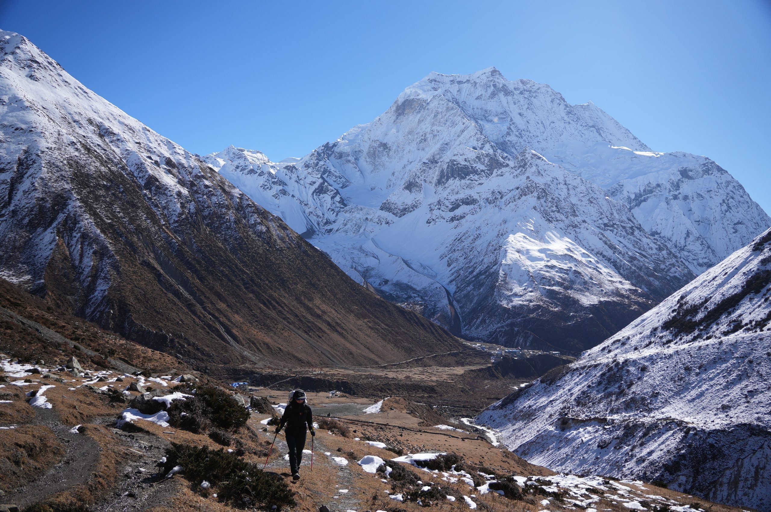
As we approached Dharmasala, the familiar feeling of uncertainty crept in. Which teahouse were we staying in tonight? "Teahouse" is a generous term for the sleeping "accommodations" in Dharmasala.
Our porter, Buddha, guided us to our room, and the door slowly creaked open. We shuddered at the sight of five dirty, warped mattresses pressed tightly together inside a tin shed, scraped and rusted from years of high mountain abuse. We asked Kishor, "Are more people going to be sleeping in here?" Given that we were both still hacking up a lung and certainly not feeling 100%, we cringed at the idea of sleeping next to three strangers who probably felt the same way.
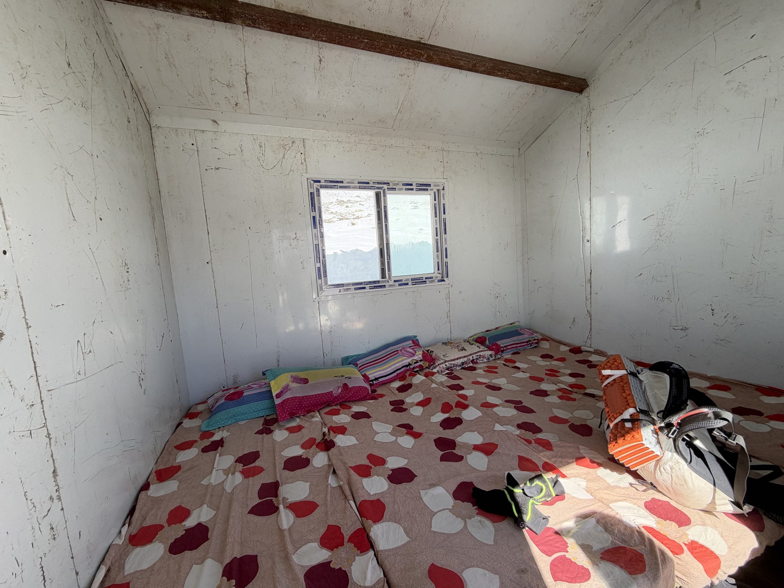
But there wasn't much time to dwell on what could happen. We gobbled down another bowl of veg noodle soup and began our next acclimatization hike up the hill behind Dharmasala. We felt slightly revitalized by the sweeping views as we gained altitude, but once again we were breaking trail through thick, heavy snow, fighting for every meter of elevation gain. Kishor was breaking trail when I asked if I could take the lead and give him a well-deserved break. I realized that must be a good sign that I was feeling better and recovery was on the way. There is truly nothing I love more than breaking trail in snow. In that moment, I thought back to the step-ups with 91 kg (200 lb) on my back under the hot Oregon sun, and I was psyched to finally put that training to work.
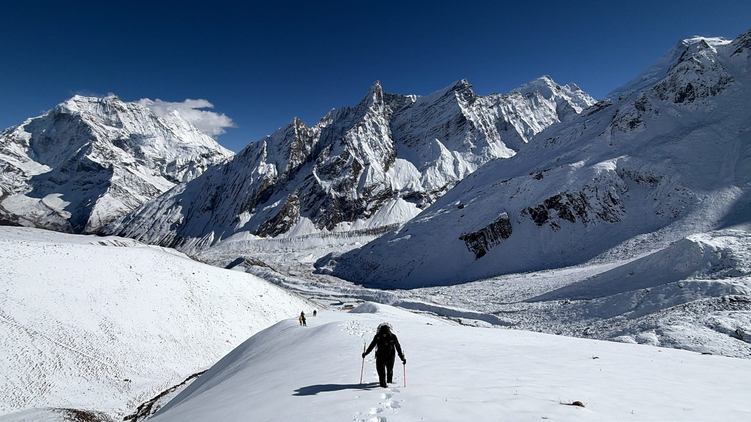
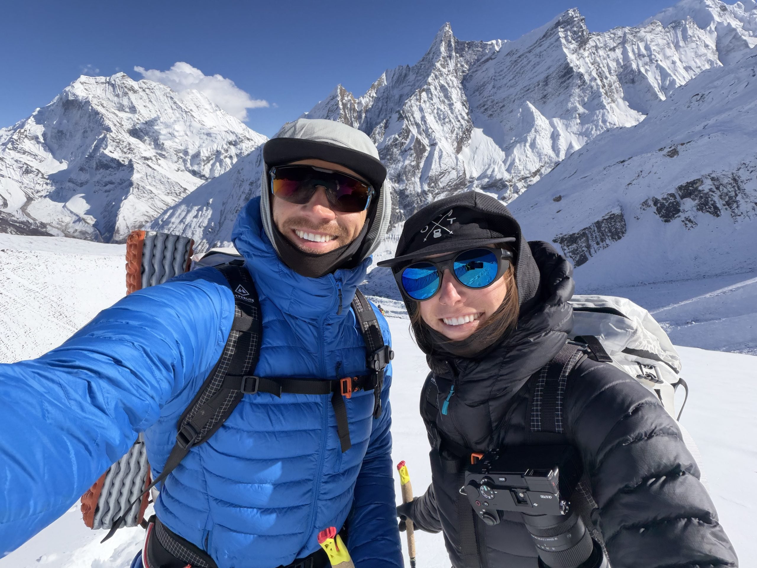
We inched our way back down to a cold Dharmasala, trapped in the shade. While I was feeling better by the minute, Emily was trending the other way. She wanted nothing to do with the dining hall and immediately retreated to our steel, Spartan sleeping quarters, where the only comfort was hydrophobic goose down and our Feathered Friends sleeping bags.
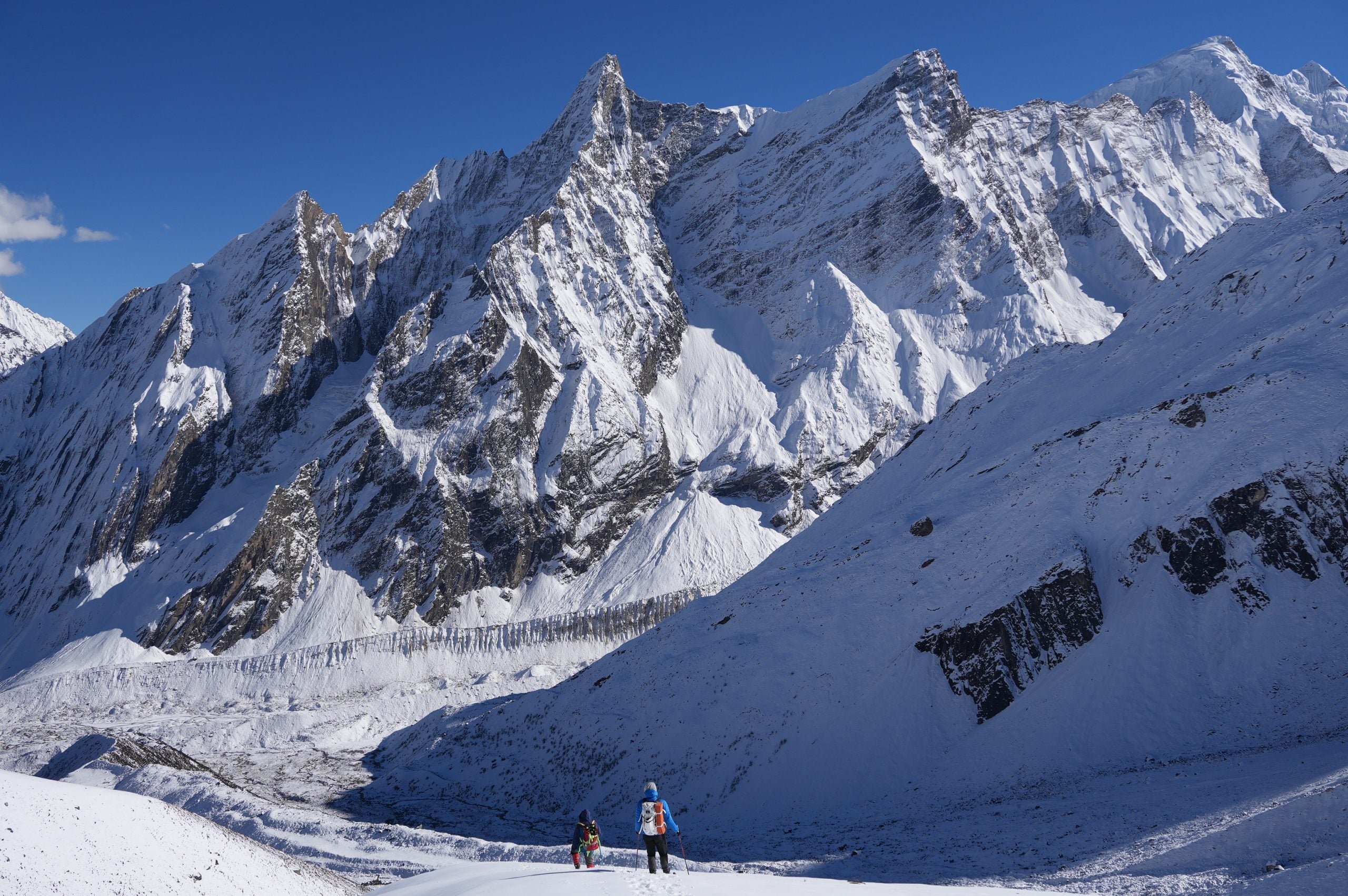
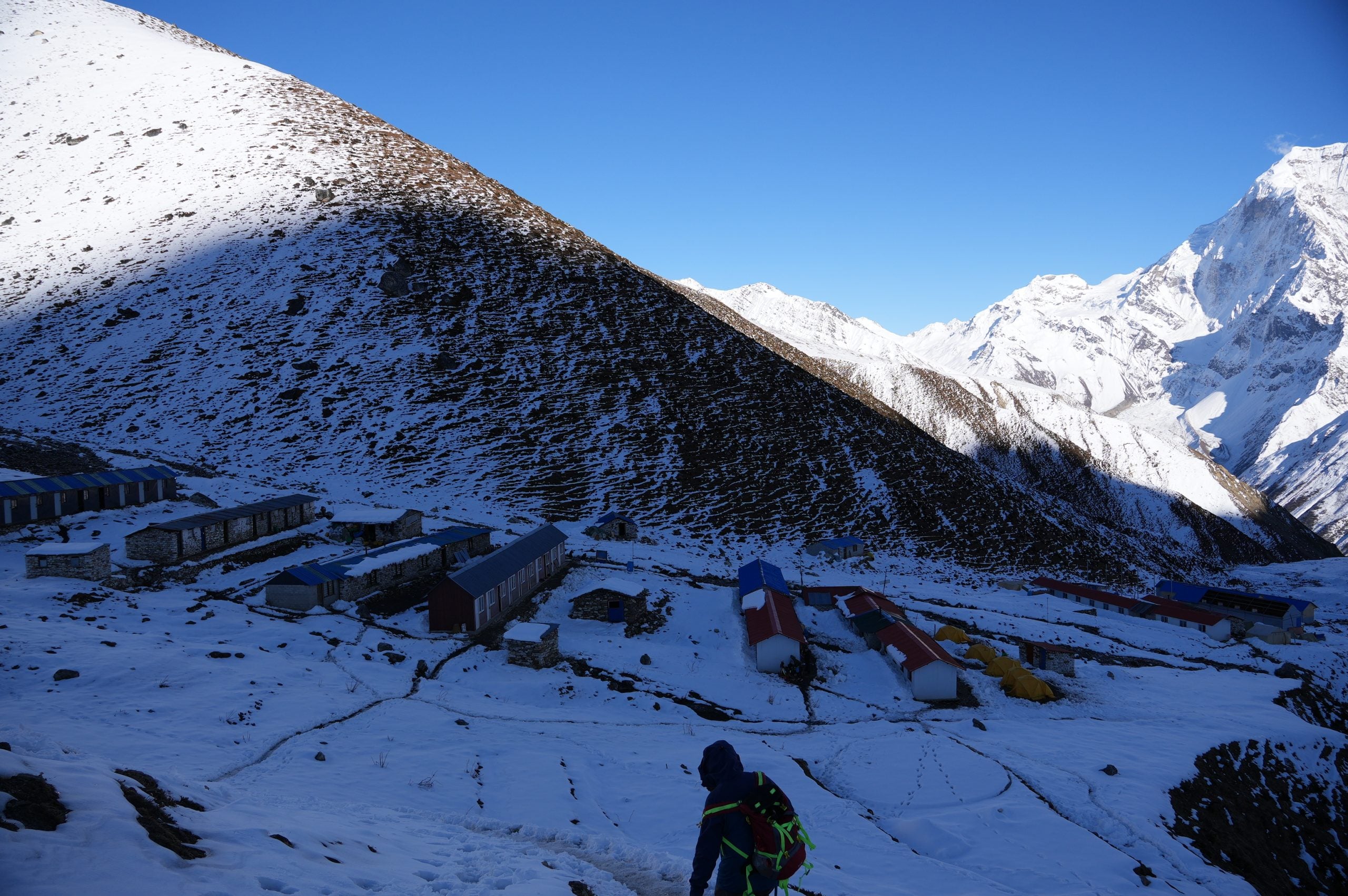
In our evening briefing, Kishor shared his concerns about climbing Larkya Peak. At this point, it was hard to disagree. Reports of over a meter of new snow at Larkya La would make for treacherous climbing conditions on the peak's north-facing slopes. As we had already experienced, the new snow made moving uphill that much more difficult. Breaking trail at high altitude is a demanding task, not to mention the increased hazards from avalanches and shallowly buried crevasses. Even our assistant guide, Kaji Lama Sherpa, a man of few words, chimed in: "Route usually all rock. No snow." And as we reviewed our photos of the peak from that day, not a single rock was visible.
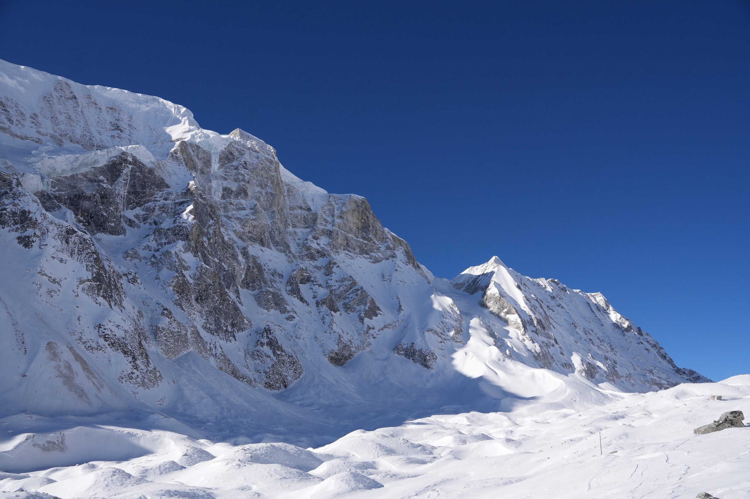
Kishor had a wise idea: pivot to what he called an easy climb of Larkya North. Despite its name, the climb would happen entirely on a big south face that had been going through melt-freeze cycles for almost a week. While it wasn't our intended objective, we were open to the idea, as we really just wanted to get high in the mountains.
Larkya Peak was off the table, and we had 13 hours of bitter cold darkness to reflect on our increasingly complicated situation.
Follow the Full Story
Trail updates, the trip tracker, and every post from the OAT Nepal Expedition.
See the ExpeditionEmily was two days behind me with her illness and visibly suffering on the morning we moved to base camp. We switched up our breakfast to plain oat porridge, which was barely palatable given the inevitable nausea that comes at 4,460 m (14,632 ft). A little coffee and some blood flow as we started walking uphill did us both good, and we slowly started to feel better as we climbed.
For trekkers leaving Dharmasala, it's an early wake-up, starting around 3 a.m., to get up and over Larkya La and all the way down to Bimthang on the other side at 3,700 m (12,139 ft). Since we were only moving about 440 m (1,450 ft) up toward the pass, we had the luxury of starting our walk at 8 a.m. This was a blessing, as the usually crowded trail was a ghost town. Just the three of us made our way slowly up under the scorching Himalayan sun, which reflected off every surface and cooked our already weathered skin.
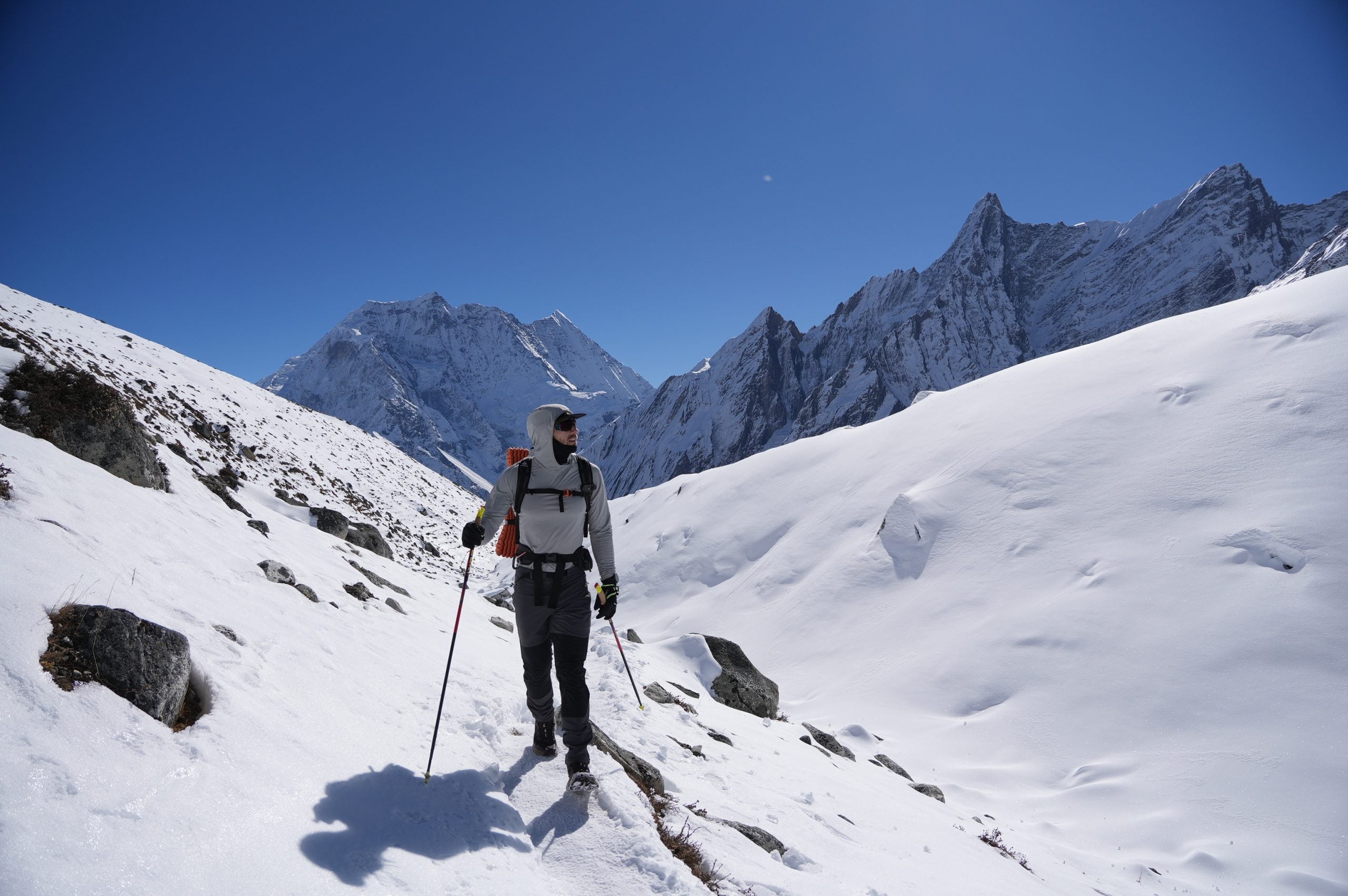
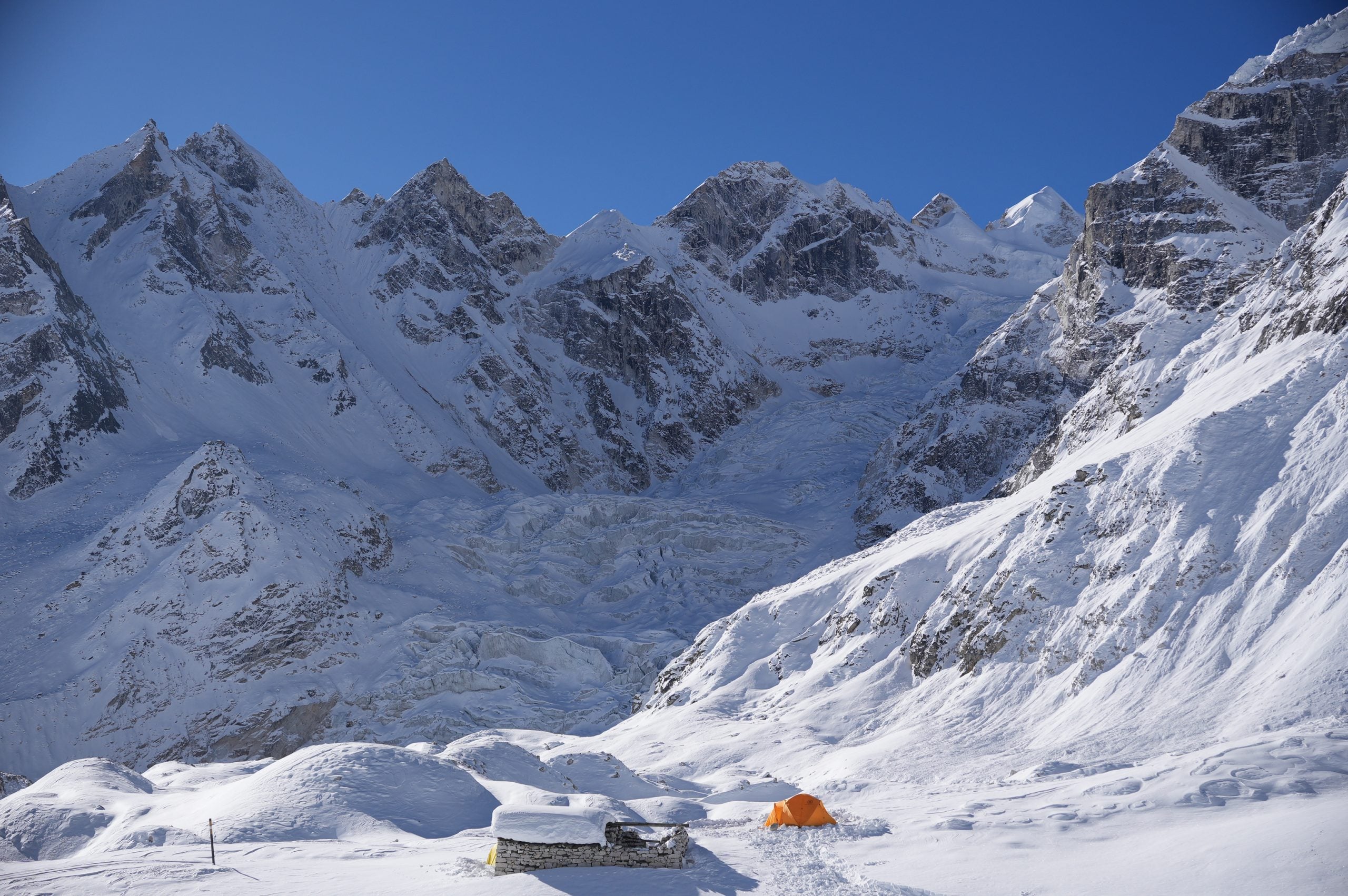
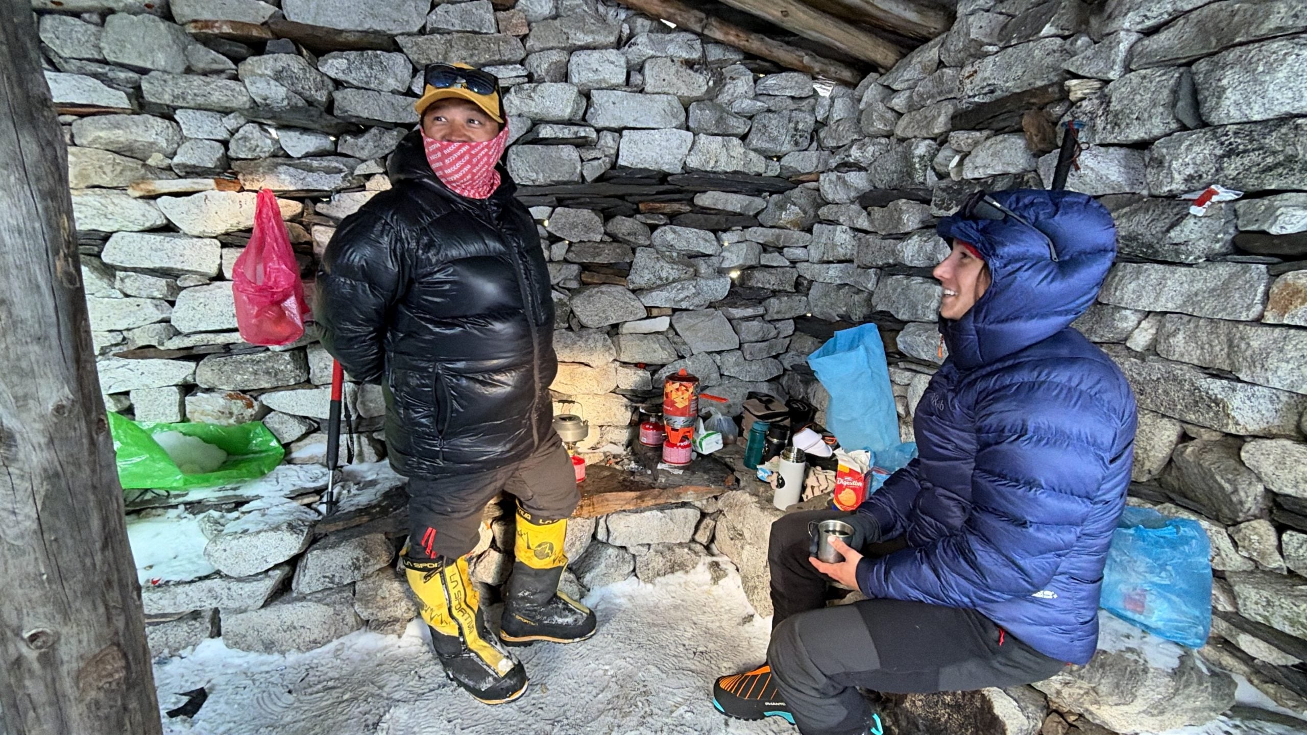
After two hours of walking through some of the most beautiful terrain we had seen thus far, we came across our porters building a tent platform near an abandoned tea hut at 4,900 m (16,076 ft). This was home for at least the next few days.
Then suddenly, a loud "Boom!" Everyone's necks snapped left, to the south, to see a massive cloud of snow hurtling down the north face of Larkya Peak. We gulped with gratitude as we turned the other way, toward the relatively benign Larkya North. Clearly, climbing the standard route up Larkya Peak would not have been a good decision.
Earlier that morning, I had sent an inReach satellite message to Magical Nepal, our outfitter and partner, who sponsored our climb, explaining the new plan: we were pivoting to Larkya North due to hazardous conditions on Larkya Peak. Since our two personal inReach devices were the only satellite communication we had, our guide had no direct line to the office, so every message went through me.
Kishor had climbed Larkya North before and had full confidence that we could have a successful climb on the 6,056 m (19,869 ft) peak. Magical Nepal replied with a longer message saying they were okay with the plan but would need to check with the Department of Tourism to see if we could get a permit to climb it. Kishor seemed fully confident that the permit would come through and that we didn't have much to worry about.
We settled in for our first night sleeping at 4,900 m (16,076 ft). Oddly enough, Emily and I both commented on how much more comfortable it was to sleep in our double-wall tent, in our down sleeping bags on our familiar pads from home, than in that rusty tin can in Dharmasala. As avid winter campers and mountaineers back home, we felt like we were in our comfort zone. We were winter camping in some of the most incredible landscapes we had ever seen, with massive glaciers all around us. The 6,000-meter (20,000 ft) peaks in every direction made us reluctant to retreat from the biting cold as the sun dropped behind Larkya La to the west.
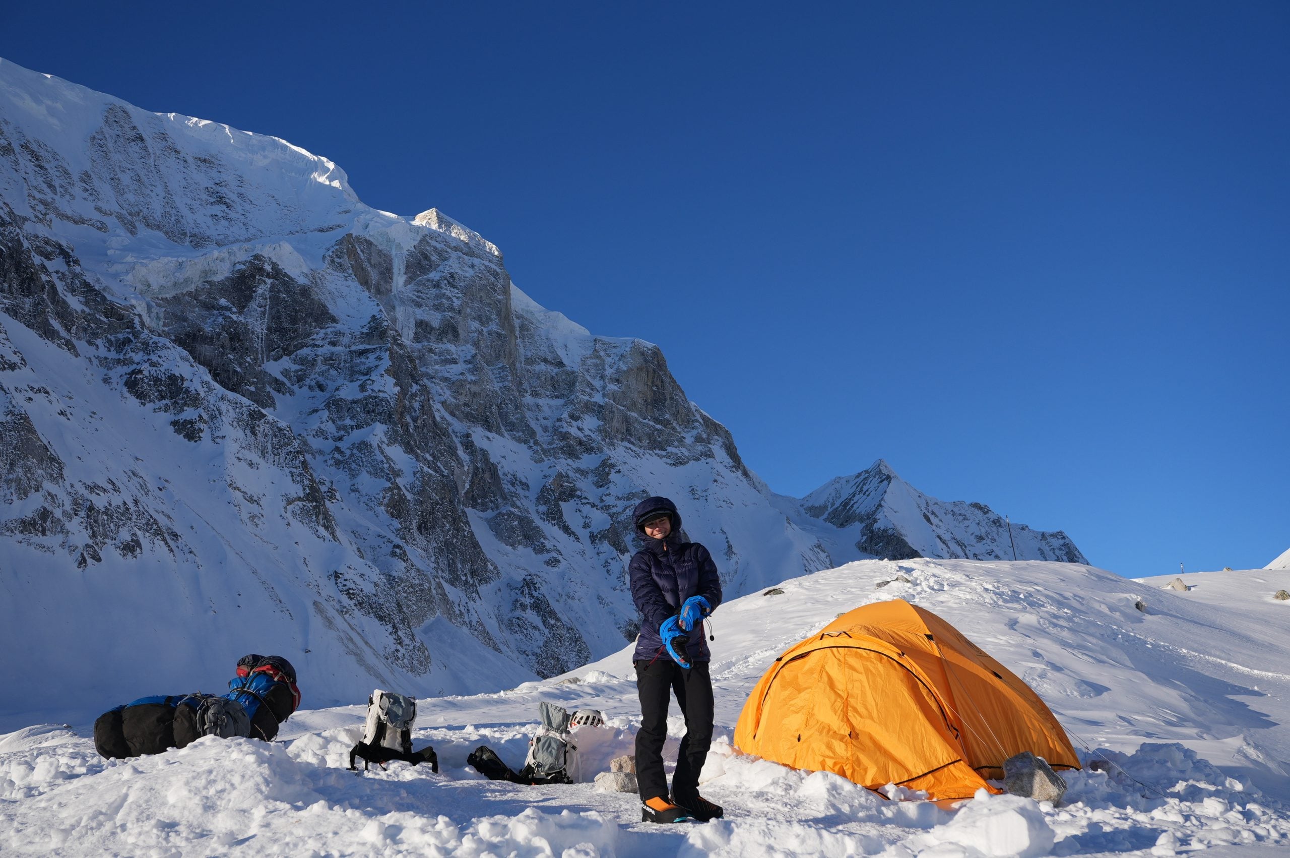
Our plan was to spend the next day scouting and setting the route. This would involve a lot of postholing in deep, unconsolidated snow, though the snow was more stable and not as deep as on its north-facing rival across the basin. We would climb as high as needed to acclimatize and understand the route. Then Emily and I would turn around and descend on our own, while Kishor and Kaji Lama climbed higher to fix lines for a summit attempt the next morning.
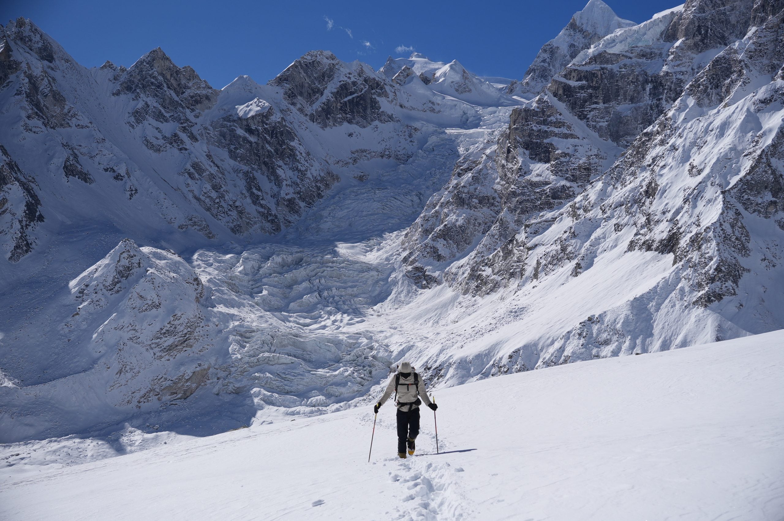
Admittedly, as we climbed, things felt difficult, not just because we were breaking trail in heavy, wet snow, but because of the altitude. We hadn't had any altitude stimulus this hard until the previous day. All three of our attempted acclimatization hikes, to Manaslu Base Camp, Samdo Ri, and the Tibetan border, had been thwarted by heavy snow, leaving us with unprepared bodies and worried minds.
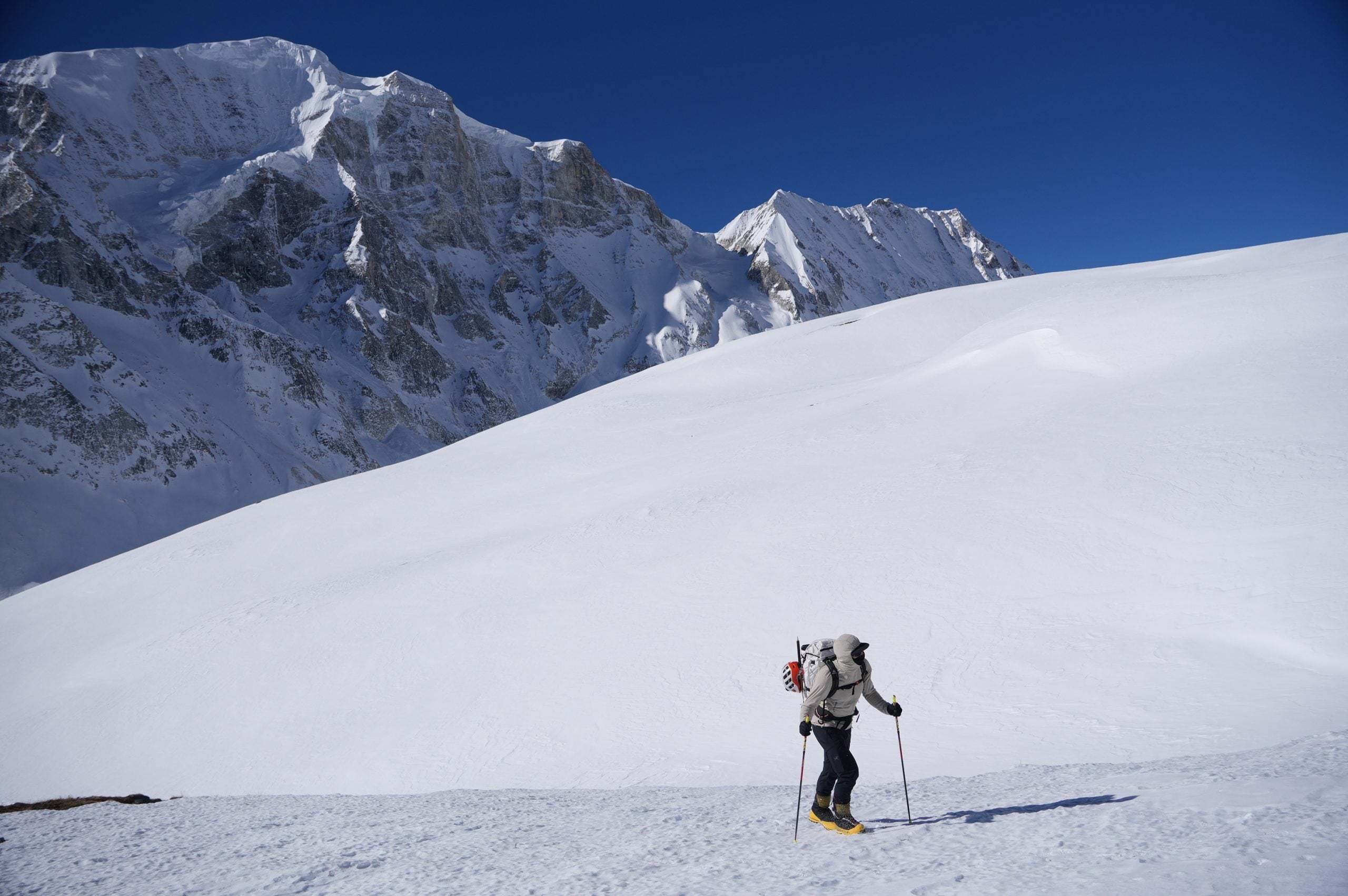
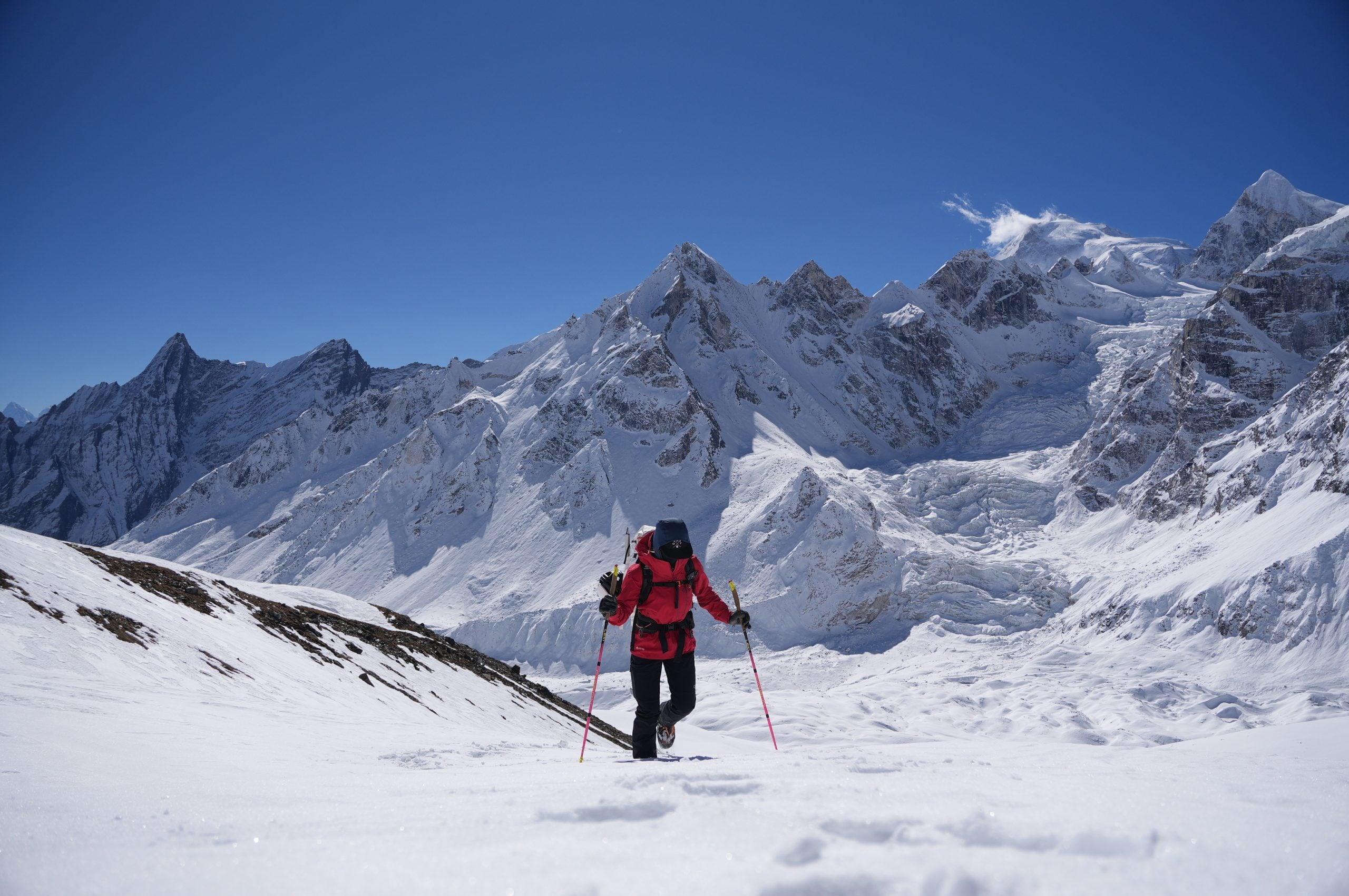
We reached our high point at 5,273 m (17,300 ft), where Kishor set up a mock fixed line. We ran through some skills drills: ascending, moving our safety carabiner, passing an anchor, and rappelling.
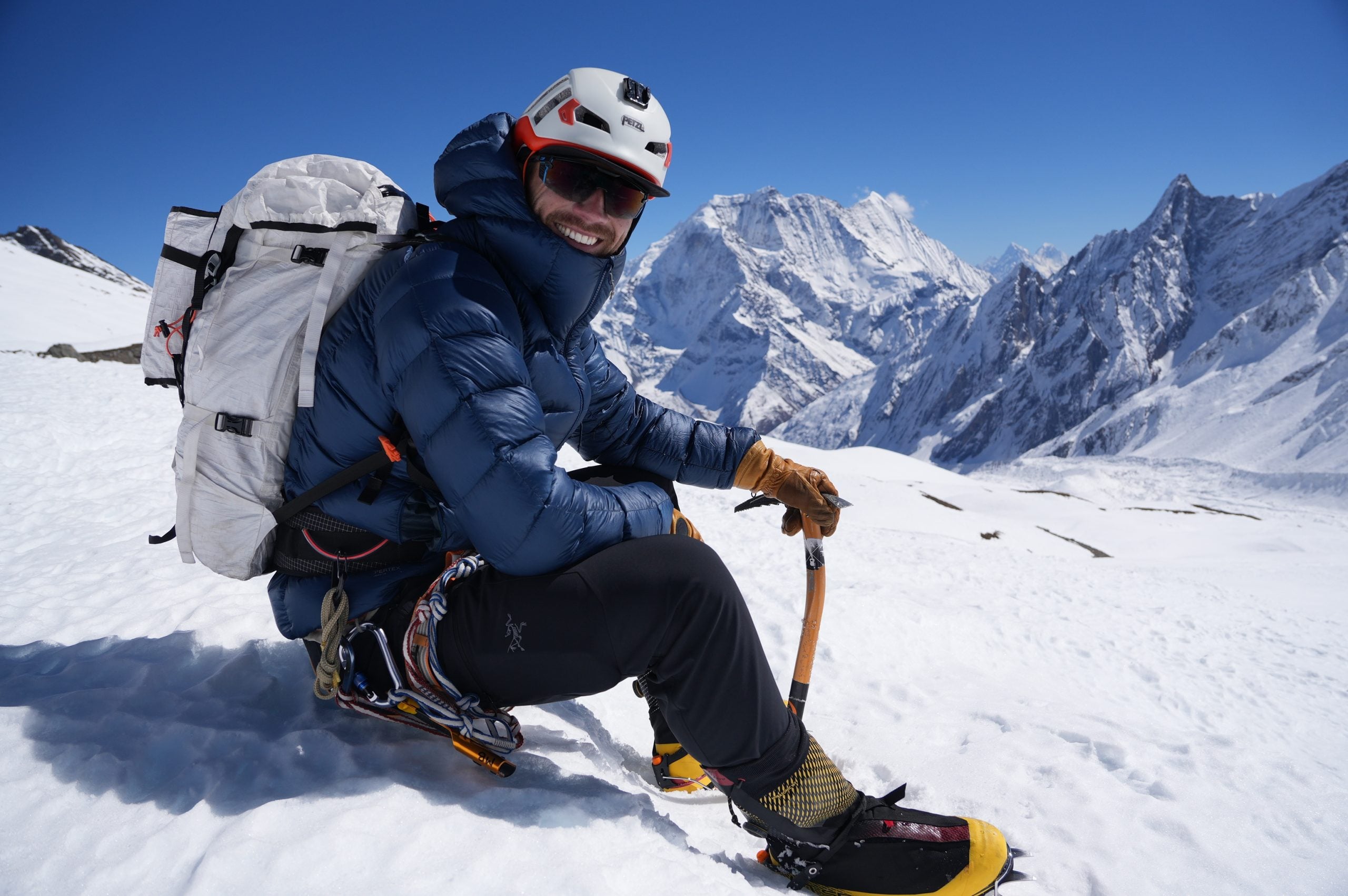
Kishor moved on to catch up with Kaji Lama, already 150 m (500 ft) above us with his incredible mountain speed. Emily and I basked in the warm Himalayan sun in our heaviest down coats, feeling the most comfortable we had been since before Samdo. We took plenty of photos and reveled in this unique, special moment alone in the Himalayas, with incredible views of Larkya Peak, Manaslu, Naike Peak, and Samdo Peak to the east.
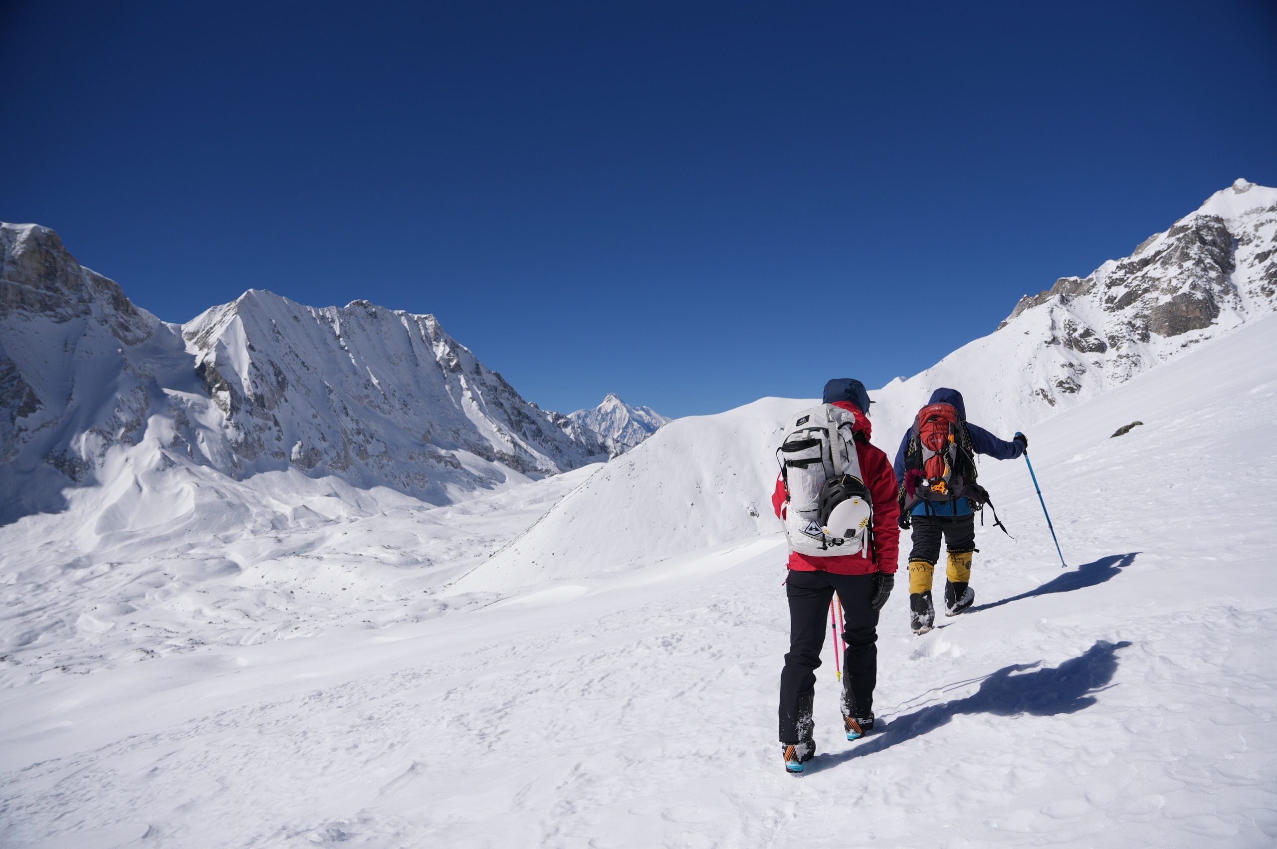
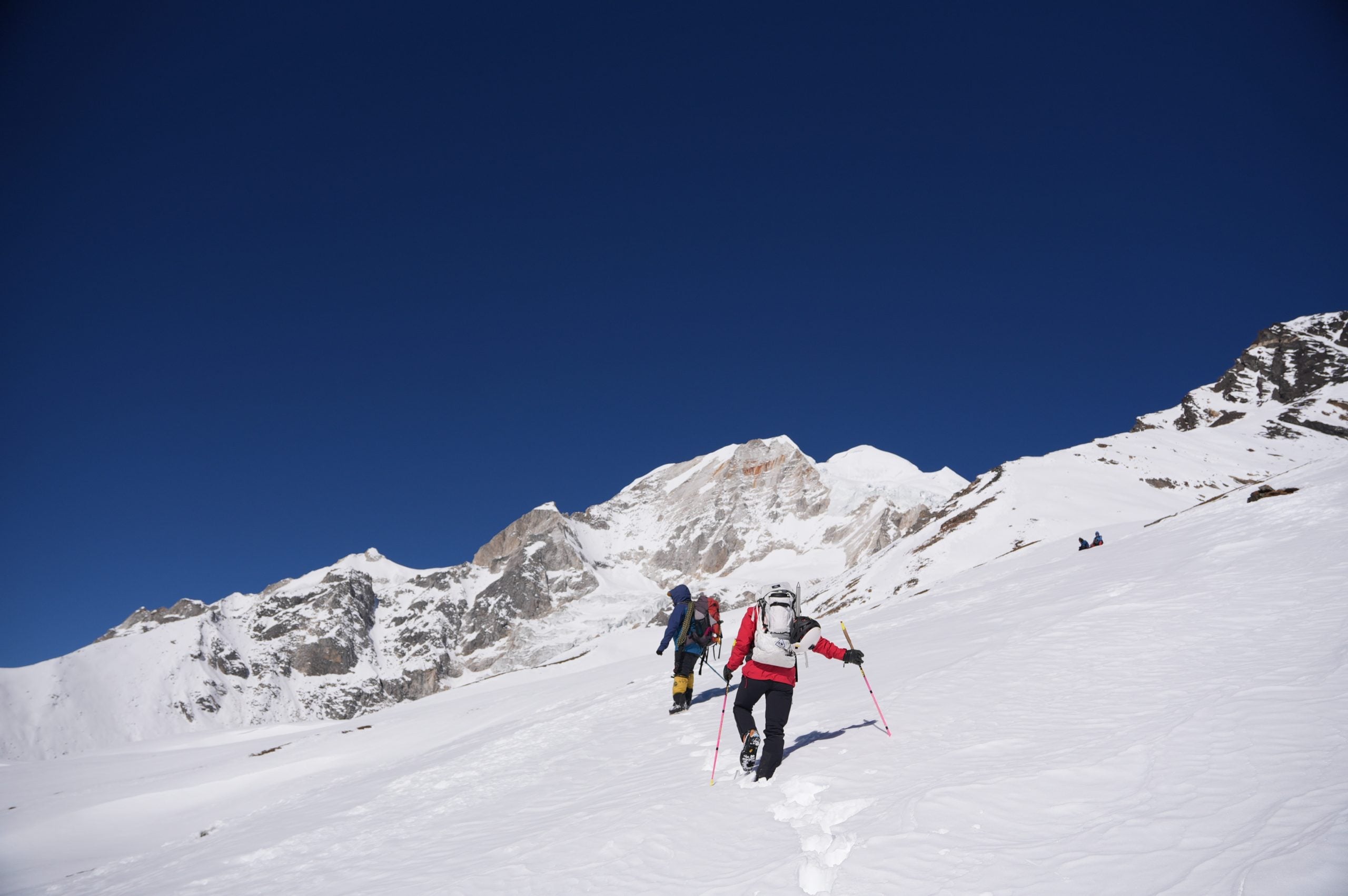
We made a loose and sloppy descent down to base camp, sliding and skirting over loose snow and shallowly buried earth and rock. Back at camp, we were tasked with cooking our own lunch, which was simple enough: boiling ramen noodles. We helped our guides by melting 6 liters of snow for their arrival several hours later. We followed the typical ritual of slurping down our soup and sliding into our sleeping bags. I turned on my inReach to check for any new messages.
My heart sank as I read the message from Magical Nepal: the Department of Tourism was unable to issue a permit for Larkya North, so we were not permitted to climb the peak. Could we ask Kishor if there were any other options? Having already exhausted all of our options, I knew there was no other choice. This was the final nail in the coffin. While we technically could still have climbed the peak, we had no interest in disregarding the Nepali government and putting ourselves in an even more precarious situation.
There we were, alone at base camp, with our hardworking guides high on the mountain getting the route ready for a climb that would never happen. We knew very well that we had already reached our high point and that there was nothing left for us to do.
While I was studying for a master's in Outdoor Adventure and Expedition Leadership at Southern Oregon University, my mentor and good friend Eric Soul coached us on the decision-making tree.
When you're making sound decisions, you're climbing the trunk, and everything is stable and secure. When you make one bad decision, you take a small step out onto a slightly weaker branch. From there, you can easily course-correct and get back to the trunk. But when you make another decision out on that branch, and then another, and another, the branch becomes weaker and less stable, and it will inevitably break.
As we lay in our tent, we discussed all of the decisions we had made thus far and all of the variables at play:
- The massive cyclone that dumped over a meter of new snow
- Getting sick in Samdo, one after the other
- Not being able to acclimatize because of all the heavy snow
- No expedition first aid kit, and no direct line between our guide and the outfitter
- Pivoting to another peak and not being able to secure a permit
It truly felt like the universe was telling us, "This is not your trip to climb."
Feelings of disappointment and failure flooded my mind, just as they had in Samdo while I struggled to breathe through my congested sinuses. Despite everything telling us not to climb, deep down I still wanted to go higher. Now there was only one thing left to do: accept reality, call the climb, cut our losses, get over the pass, and live to climb another day.
But this is the beauty of mountaineering: the summit is never guaranteed. Could we have picked a more straightforward, busier peak in the Khumbu? Certainly, but there's no adventure in that. We specifically sought out this peak because it's less popular and under the radar, and we wanted the true serenity and solitude that the Himalayas so generously provide.
At the end of the day, we had a truly unique experience camping beneath Larkya La for two nights. It's a place where people usually spend only a few miserable hours, trying to make their way through the thin air. Each morning, we watched dozens of groups climb the pass, looking like waddling zombies with their headlamps on in the pre-dawn hours. Then, from 8 a.m. until 5 a.m. the next day, there was not a soul to be seen. I will forever be grateful for the peace and tranquility we experienced at Larkya Peak Base Camp.
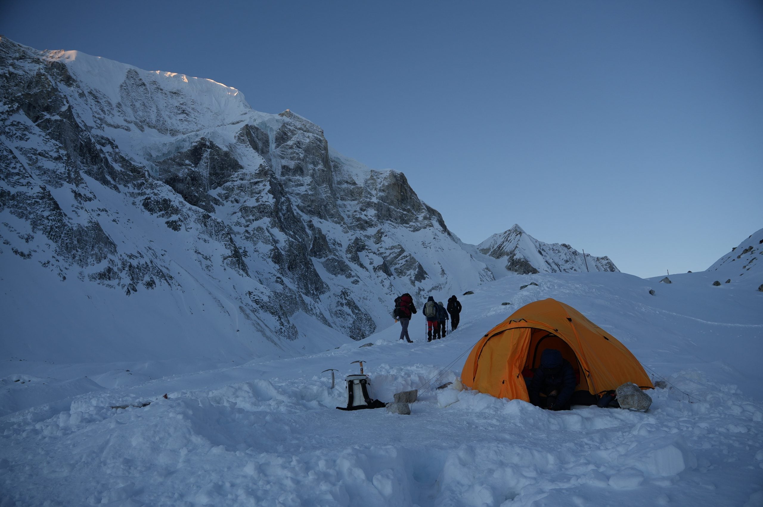
Success can't be measured by reaching a geographical point on a map. It can only be measured by the depth of growth you experience in the mountains, and this experience has only increased our fuel and hunger for the next adventure.
Follow the Full Story
Trail updates, the trip tracker, and every post from the OAT Nepal Expedition.
See the Expedition