R2R2R: Honing the Edge
48 miles. 11,500 feet of vertical. One day in the Grand Canyon.
As we crested the final switchback, the soft orange glow of the desert sun faded behind the South Rim. After a grueling 5,000-foot climb on tired legs, we'd completed the Rim-to-Rim-to-Rim objective. But the job wasn't done yet. We still had a 2.5-mile stretch of pavement back to our campsite at Mather Campground. While scouting the route the day before, we'd learned that the South Kaibab Trailhead was reserved for shuttle buses only, and parking there was not an option. We'd considered parking a bit closer, but ultimately decided we wanted to do the whole thing fully on foot. What difference could a couple of miles make?
Right now, we were finding that precise difference. At mile 45, with over 23,000 feet of elevation change on stiff hips and tender feet, even walking on flat ground was demoralizing. Down to our last few ounces of water and unable to gag down another Medjool date, we rummaged through our crusty running vests to fish out the headlamps we'd stashed some 14 hours ago.
Our goal with this objective was simple and common among outdoor enthusiasts: experiencing growth through voluntary suffering. But our goal wasn't just to find our edge. It was to hone it. Make it as sharp as possible. To truly find the line of what we were capable of, and what might be one step too far.
But we aren't "normal" people. Normal is comfort seeking, looking for the easy way out, being satisfied (at least outwardly) with mediocrity. We didn't come here for mediocrity. We didn't come here to take shortcuts. We came here to go through the process. To feel the pain and the inevitable growth that comes alongside it. The simple mantra of "Hone the Edge" was our guiding light through the stunted high-altitude juniper forest as we slogged into our campsite.
The Why
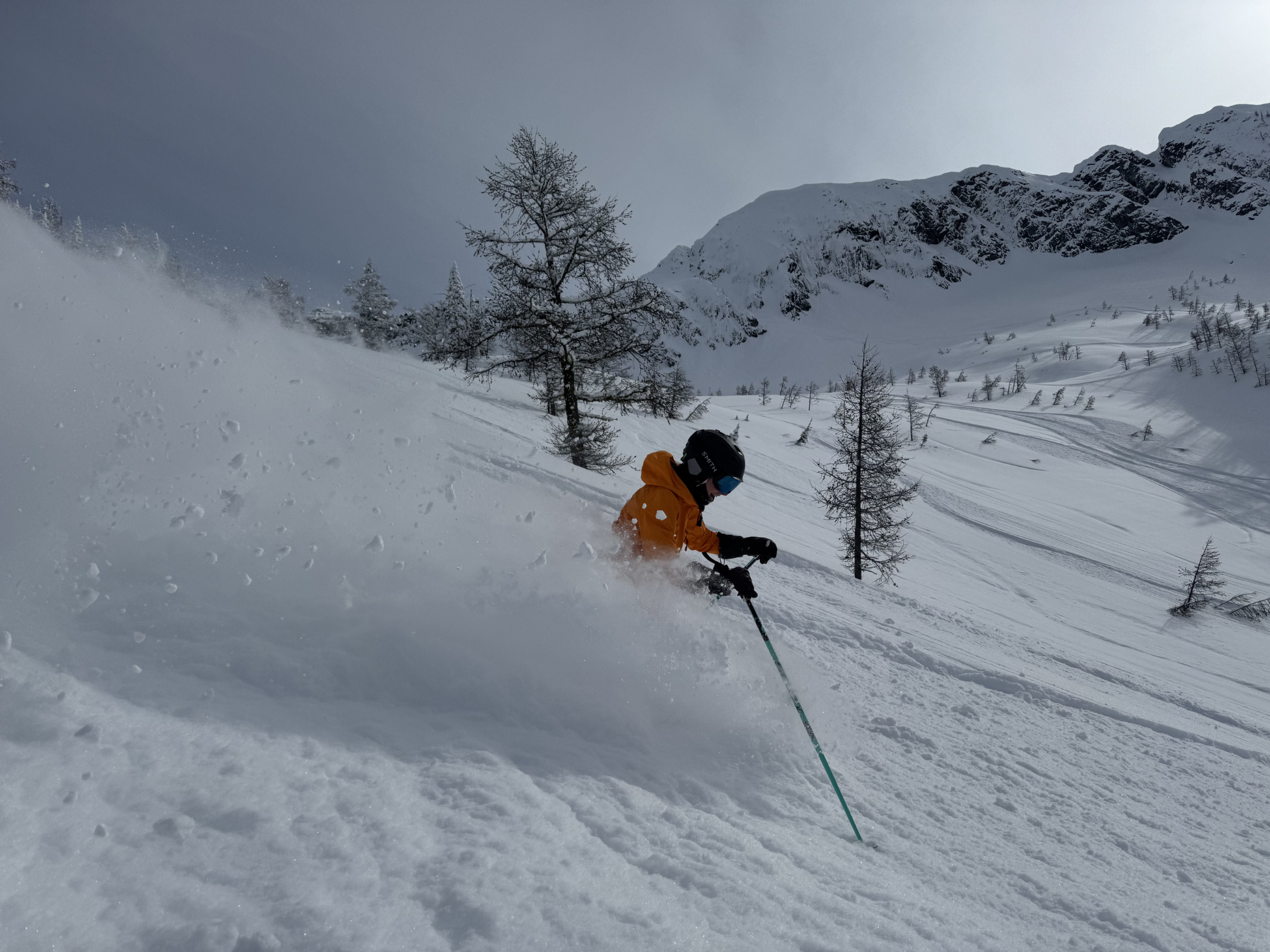
Three months earlier, we were sitting in a dark cabin in the woods outside Nelson, British Columbia. Though we were loving every minute of ski season, harvesting as many powder days in the Kootenays as we could, the effects of a lack of sunlight were rearing their ugly head. Wouldn't it be nice to be getting cooked in the desert right now? we asked each other as we contemplated our next adventure for the upcoming spring. Certainly there would still be some ski mountaineering to be had back in our home zone of the Pacific Northwest. But after a record-shattering lack of snowfall on our favorite volcanoes, our minds shifted toward the trail. Where could we go that was hot, dry, and unrelentingly sunny, somewhere that would aid in winter thaw-out? There was only one obvious answer: the desert.
Over the years, we've worked with many clients training for the Rim to Rim hike in Grand Canyon National Park, and it had long been on our objective list. But the 2025 Dragon Bravo Fire forced a total closure of the North Kaibab Trail and destroyed the Grand Canyon Lodge and the North Rim Visitor Center. Logistically, the hike had become more challenging. As we researched and wrapped our minds around how we could pull it off, it dawned on us that the easiest and most straightforward route would be to simply walk back to where we started. This would turn the rim-to-rim into the rim-to-rim-to-rim. How bad could one more rim really be? Turns out, it doubles the entire objective. Now we were talking.
We knew we could do a 20-mile hike. We've proved that many times before on efforts like the Tour du Mont Blanc and other training runs and hikes in the Pacific Northwest and beyond. But 48 miles through the desert in the hot months of May was unknown, and that's what intrigued us. We didn't pick the rim-to-rim-to-rim because we knew we could do it. We picked it because we weren't sure if we could do it, and that uncertainty is what fueled our training for the months ahead.
The Build
So we booked our flights, got lucky with a few campgrounds, and all that was left to do was train. Training for an effort like this is challenging because you want to ramp up, but you can't do too much too quick. I've seen this time and time again, and I've personally fallen victim to overuse injuries through overtraining in previous ultra-marathon events. Training for a massive effort in a rural mountain town in British Columbia with a robust snowpack at the end of winter is less than ideal. Meaningful elevation gain on foot was just not an option, with one exception: a trail that became intimately familiar to us called Pulpit Rock and the Flagpole, which offered a respectable 2,000 feet of gain in just over two miles. Short, steep, and a surprisingly good stand-in for the Canyon. Through the winter, we kept a baseline of running with short two to five mile efforts once or twice a week, and on days we weren't skiing, we were in the gym cranking out hard leg workouts and stacking on some muscle mass. In early March, we filmed our 11-day Trail Ready Challenge, which gave us a really solid foundation of stability and muscular endurance in the lower legs and other trail-specific systems.
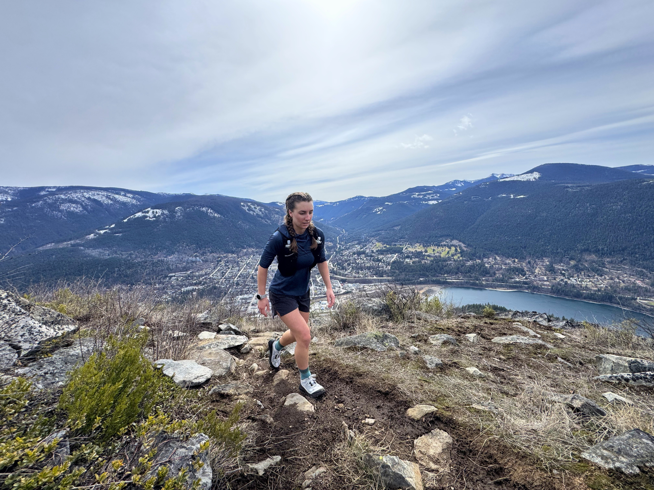
As winter continued to thaw, we migrated south for spring back to our home base and OAT headquarters in Ashland, Oregon. At last, we were in the mecca for trail sports. Endless trails in the Ashland Watershed gave us new life as we came into our final six-week training block. We ramped up our running volume diligently, stacking mileage and elevation gain intelligently, riding that thin line of building meaningful endurance and tolerance without doing too much too quick.
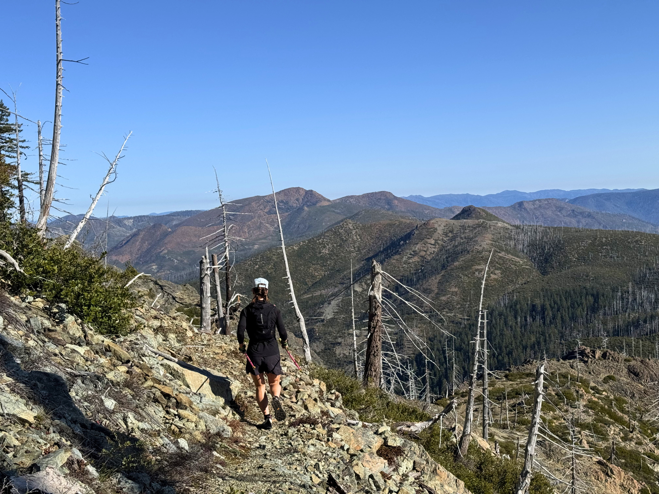
But while we love running, we are skiers at heart. When the opportunity presents itself to ski a 14,000-foot volcano in the backyard, you go. On April 13th, we did just that. A new blanket of snow covered Mount Shasta, and we slapped on our climbing skins and began walking up. Beautiful, sunny day, getting that heat tolerance in, and we just kept going up the hill.
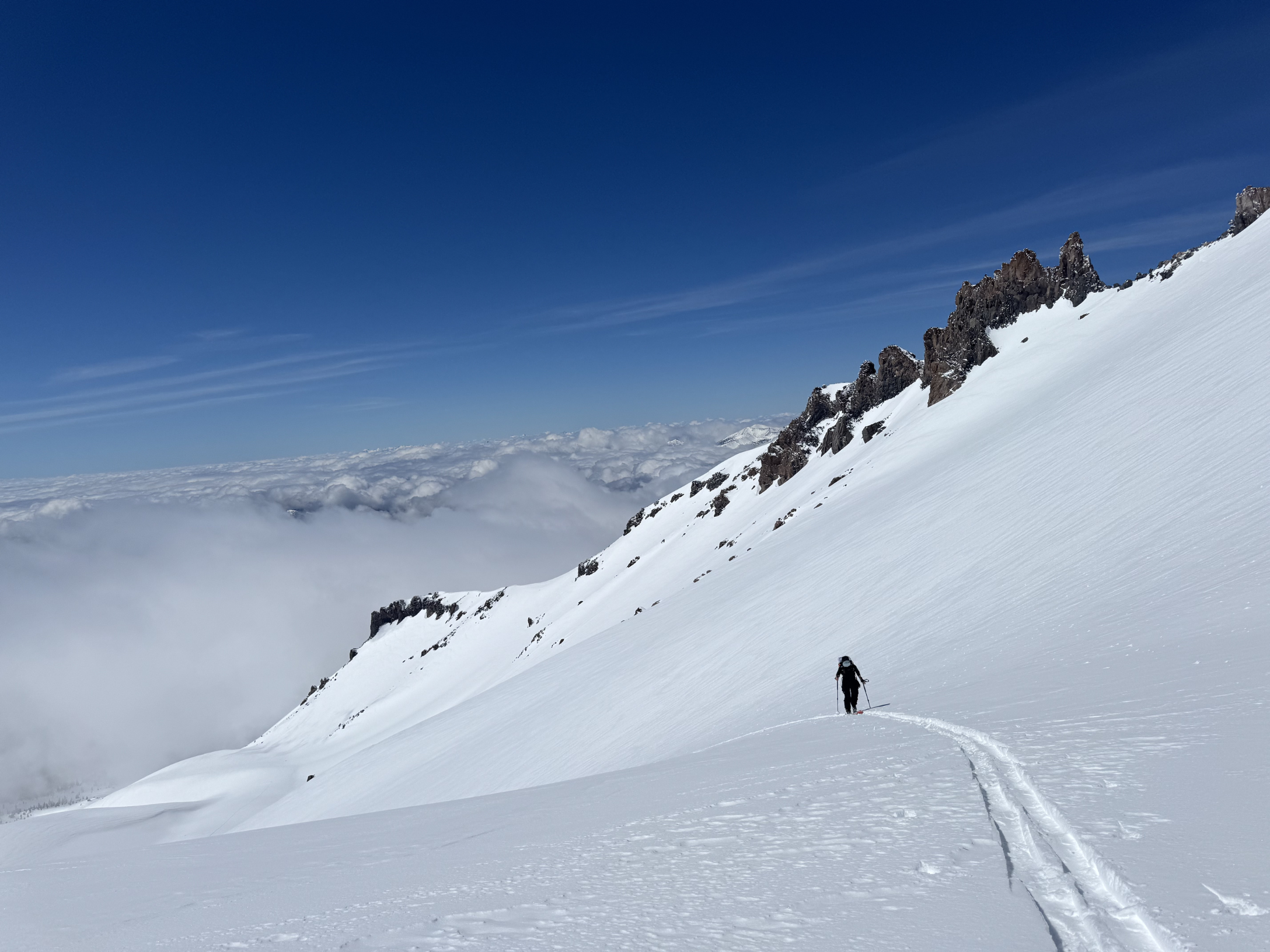
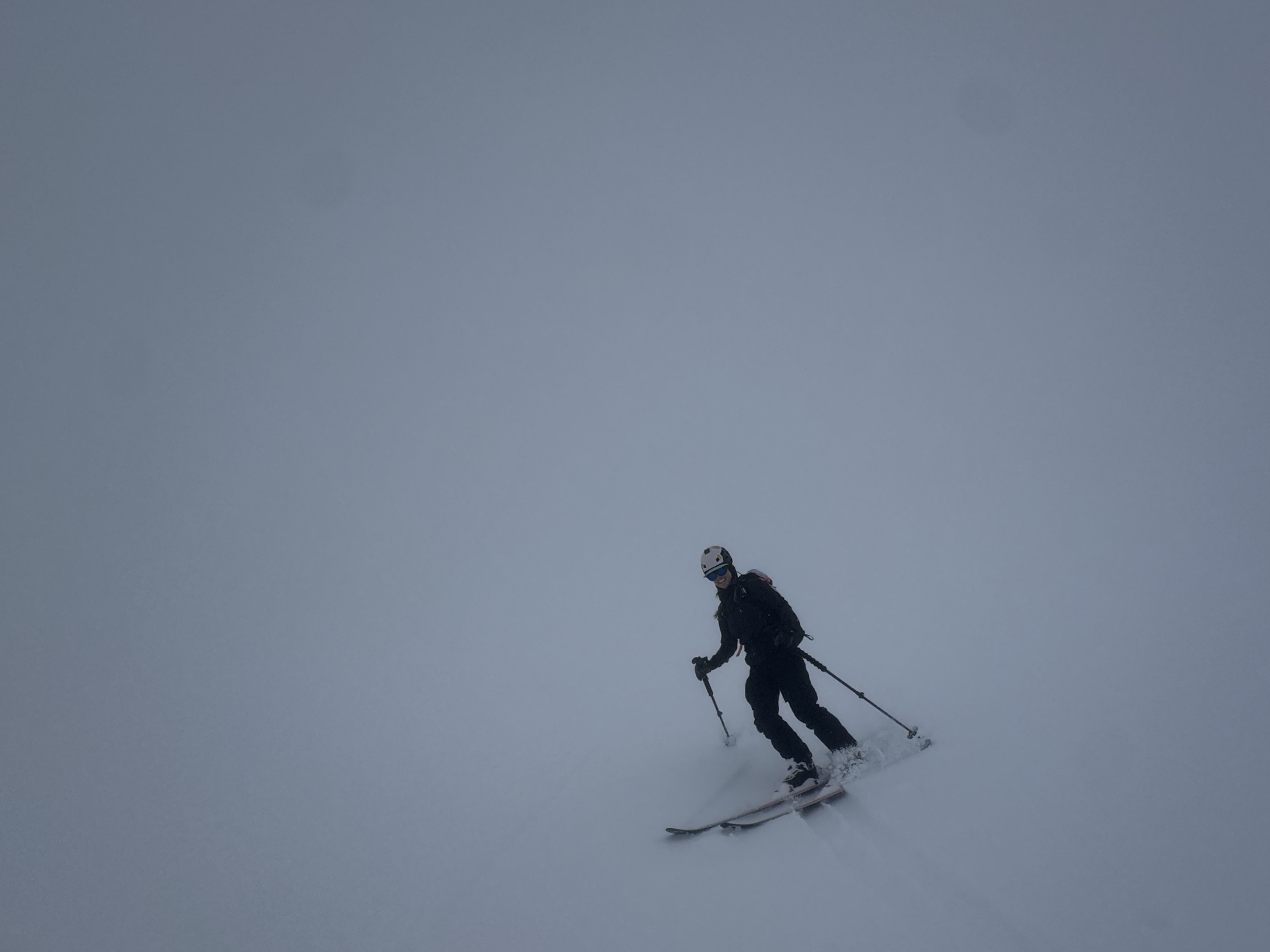
During our break at 11,000 feet, big clouds boiled up from the valley below and engulfed us. Fluffy and magical from the outside, but from the inside it felt like skiing inside a ping-pong ball. Despite decent snow conditions, the lack of depth perception made the whiteout above tree line nearly impossible. As we lost elevation and the snow quality changed, we were forced to snowplow back down our skin track, making for an uncomfortable and demanding descent. During that descent, Emily started struggling with hip pain on the outside of her hip. Her TFL and gluteus medius locked up during the intense internal rotation required to maintain knee alignment, really fatiguing those muscles. We made it back to the car safely, but not without consequence. A couple of days later, on a training run, Emily's TFL was locked up and IT band pain had set in. With less than a month to R2R2R, we were forced to rethink the entire peak phase.
How are we going to balance training through an injury? The short answer: you can't. You can't push through to ramp up your volume. What became more important was knocking back the IT band pain and trusting in our robust baseline of fitness to power us through. Mikey was still able to methodically ramp his running load, but Emily had to be more diligent, swapping running for bike rides, strength endurance workouts, dedicated glute med activation sessions to wake the side hip back up, and lots of mobility work to knock off the TFL overactivation. She still cranked out short training runs to prepare the tissues, complemented by ankle and foot stability work to keep activating the right muscle groups.
The TFL continued to heal, and we tested the waters on an 11-mile training run that generally went pretty smoothly. Emily did have a bit of a flare-up at mile 5, but she employed some on-trail mobility work to knock it down enough to get us back to the car. That eleven-mile run was the longest we got. The planned 20-miler never happened. The big question mark remained: how would she hold up on a massive day in the Canyon?
Our training strategies continued to shift, adapt, and evolve, like any good training program does. I've always believed that diversity is the spice of life, and with training it's the same. I love to ski, I love to bike, I love to run, I love to climb, and if I could do them all in one day, I would. Following the principle of specificity, we need to expose our body to the specific demands of what we're training for. But sometimes our muscular system and tendons need a short break to adapt, and that's where similar but not identical activities can replicate the demand while giving other muscle groups a chance to catch up.
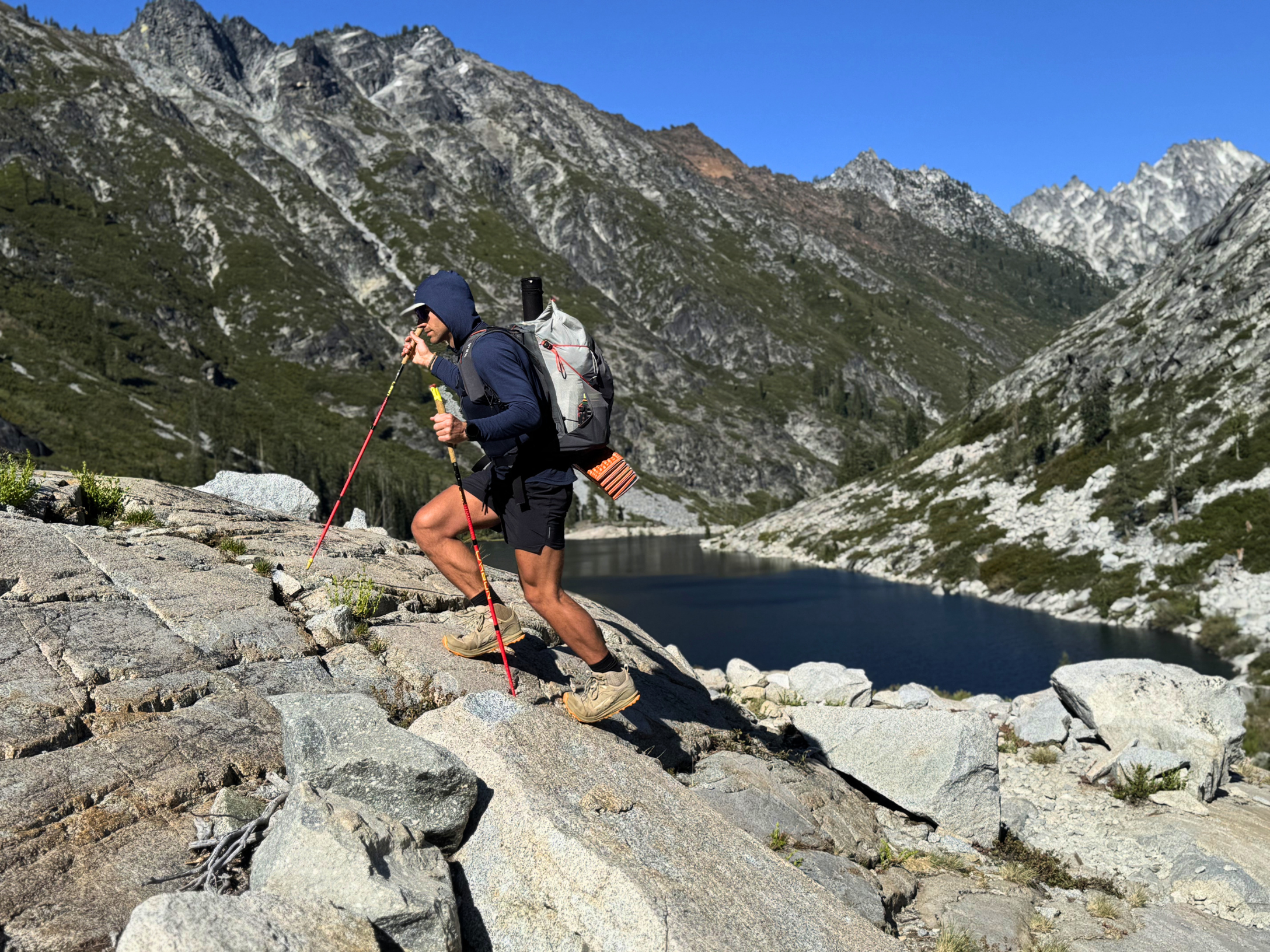
Our peak training week looked nothing like the textbook. Mikey went solo to the summit of Mount Shasta, over 7,000 vertical feet of gain at altitude in a single day. Emily, still nursing the IT band, swapped impact for endurance with a 40-mile bike ride and over a vertical mile of climbing. We capped the week with a 30-mile overnight backpacking trip into the Trinity Alps Wilderness under load. Cumulative fatigue and a wilderness mental reset, all in one.
The Strategy
With training behind us, it was time to make our move to Arizona. We had a week to spend in the desert, slowly working our way from Phoenix to the Grand Canyon and adjusting to the hot, dry, arid climate and high altitude. These were variables we'd accounted for in our training as well.
Two to three weeks of consistent heat exposure triggers measurable physiological changes: increased blood plasma volume, earlier onset of sweating, lower core body temperature at the same workload, and improved cardiovascular efficiency. Coming off a long Canadian winter, we knew we had to manufacture summer ahead of schedule. So we did. We intentionally timed our training runs and workout sessions for the hottest part of the day. We sought out south-facing trails in the Ashland Watershed. We hit the sauna at least once a week. We avoided the cold at all costs. By the time we landed in Phoenix, our bodies were already partway there.
Altitude was the other variable people overlook. The South Rim sits at over 7,000 feet, and the North Rim is over 8,000. Even spending three nights sleeping on the South Rim before the effort had a real impact on heart rate and recovery, and for anyone coming from sea level, those three days at altitude can knock you down before you've even started. We were fortunate to come in from the mountains, but we still felt it.
After a day of trail running in Sedona and a night of sleeping at high altitude in Flagstaff, we made our way to the South Rim of the Grand Canyon, where we'd reserved a campsite at Mather Campground for three nights. This was our launching point. Prep gear, eat food, rest, and hydrate before we hit the trail on May 20th.
The Day
The day dawned warmer than expected. With a forecasted high of 90 degrees in the Canyon, we were prepared for the temperature to swing hard in both directions as we moved through this vast expanse of terrain. Both of our running packs were filled to the brim with as much water as we could carry, and snacks enough to last what we'd planned as a 16-hour effort. We hauled close to 6,000 calories between us, mostly in the form of carbohydrates and fast-acting sugars. We had a few packs of ultra-processed foods like bars and energy chews, but we primarily thrived on whole foods. This is how we'd trained, with these same foods: dried mangoes, Medjool dates, a bean and rice burrito each, oatmeal chunks, and a few vegan chocolate chip cookies. Electrolytes were a huge part of the equation. We each carried five packets of LMNT, dosed strategically throughout the day to stay ahead of imbalance.
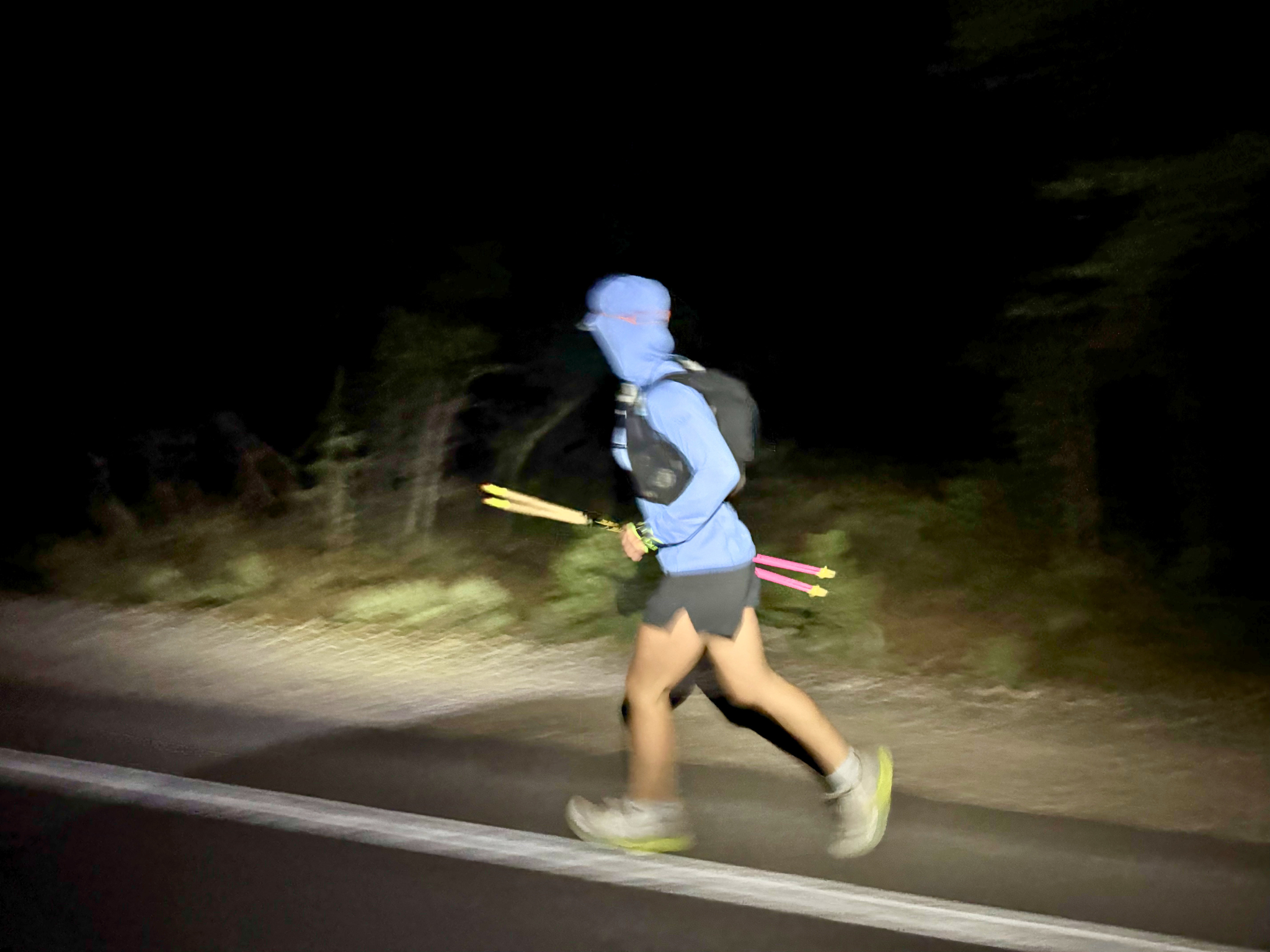
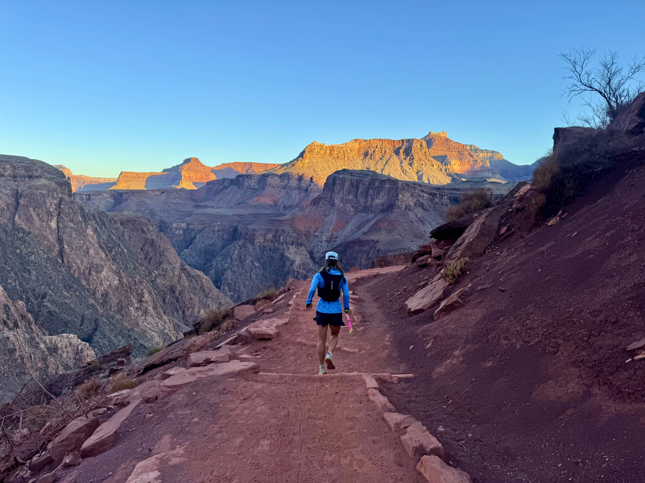
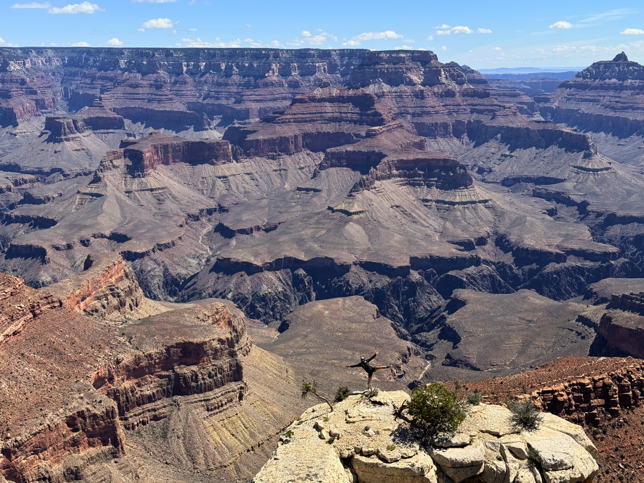
The first 2.5 miles of navigating the lightless National Park streets and paved walkways gave us space to warm up the legs and prepare the mind for the effort ahead. Then came the infamous descent down South Kaibab. Though only 4:30 a.m., the first hints of dawn were already appearing to the east, casting the softest purple light on the walls of the Canyon. Our strategy for moving through terrain was simple: jog the flats, easy run the downs, hike the ups. But on South Kaibab, the technicality varied switchback to switchback, determined by whatever specific layer of rock from hundreds of millions of years ago presented itself. The number one goal was to not trip, fall, or get injured. Not only could that jeopardize the objective, but potentially one's life, should it happen at the wrong corner of trail above a 300-foot cliff.
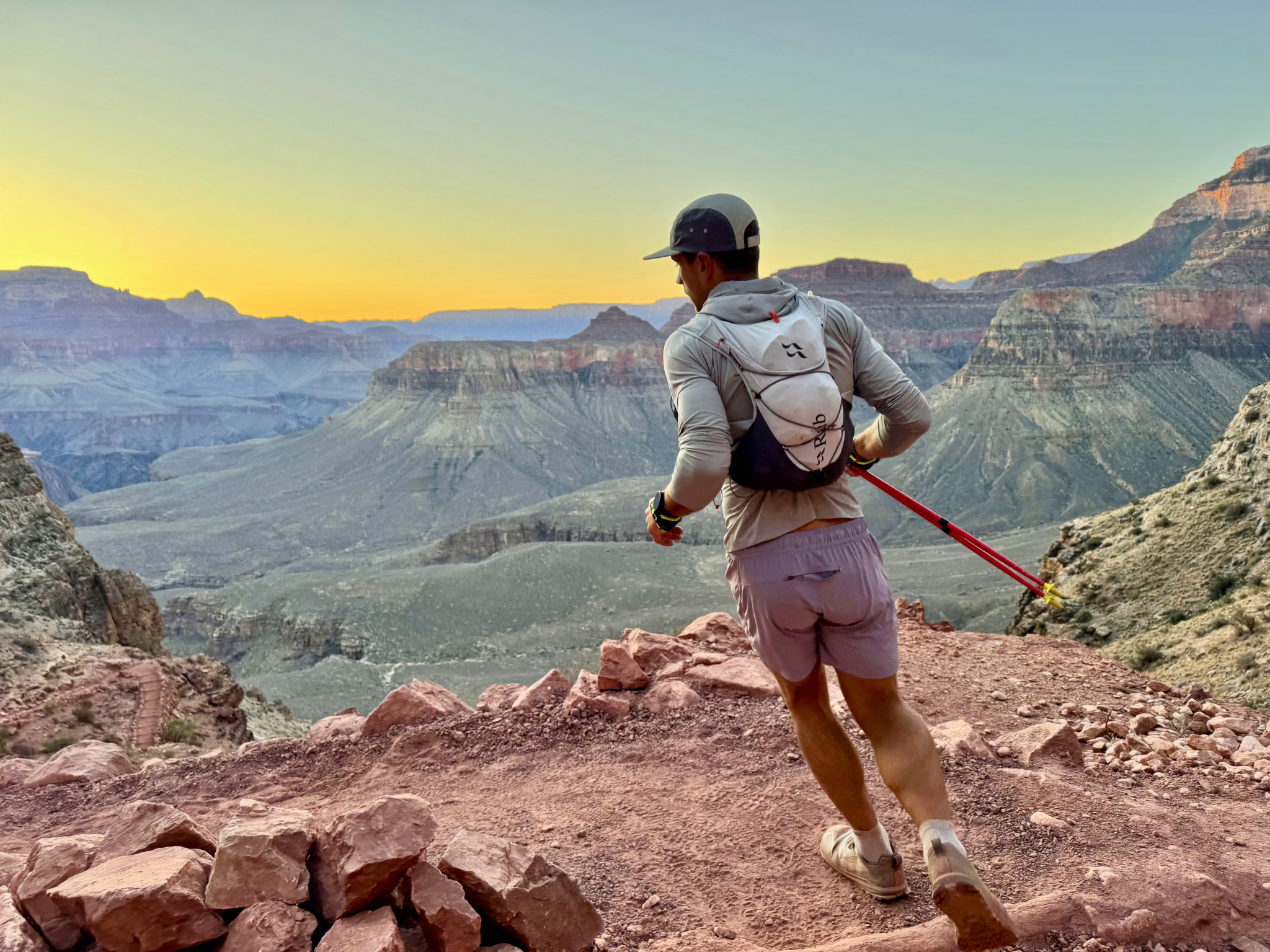
So in the cool dawn air, still in the shadow of the Earth's curve, we picked and pranced our way down. Each switchback revealed a fresh, jaw-dropping perspective of the Canyon. About halfway down, we saw the first batch of early-morning hikers making their way up from Phantom Ranch on the Canyon floor. While we tried not to dwell on the obvious, it was impossible to ignore the fact that we'd be doing that same climb many hours from now. Eventually, after a very pleasant two-hour descent, we reached the Black Bridge crossing the Colorado River. We cruised across and topped off our water at Phantom Ranch, though we'd drunk very little on that first descent. We wanted to make sure we had enough to account for uncertainty.
From there, we were deep in the Canyon. You could tell the towering walls on either side were being lit up by the early morning sun that had yet to touch our skin. We stayed cool in the shade, slowly gaining the mellow climb through Bright Angel Canyon. Sticking to our strategy, we jogged all the flat and false-flat sections, reserving power hiking for those sections that provided just enough resistance to make running laborious. We continued to cruise for miles through this section, enjoying each bend and turn in the trail as if it were revealing a new postcard-perfect image of life in the Canyon. Desert flora scattered the trail when it veered just a few meters from Bright Angel Creek, while an oasis of water-loving vegetation lingered on its banks. Temps continued to rise, and finally, on a short climb just before Cottonwood Campground, the sun hit our skin for the first time. We were grateful to have traveled so far in the protection of shade. That story was about to change.
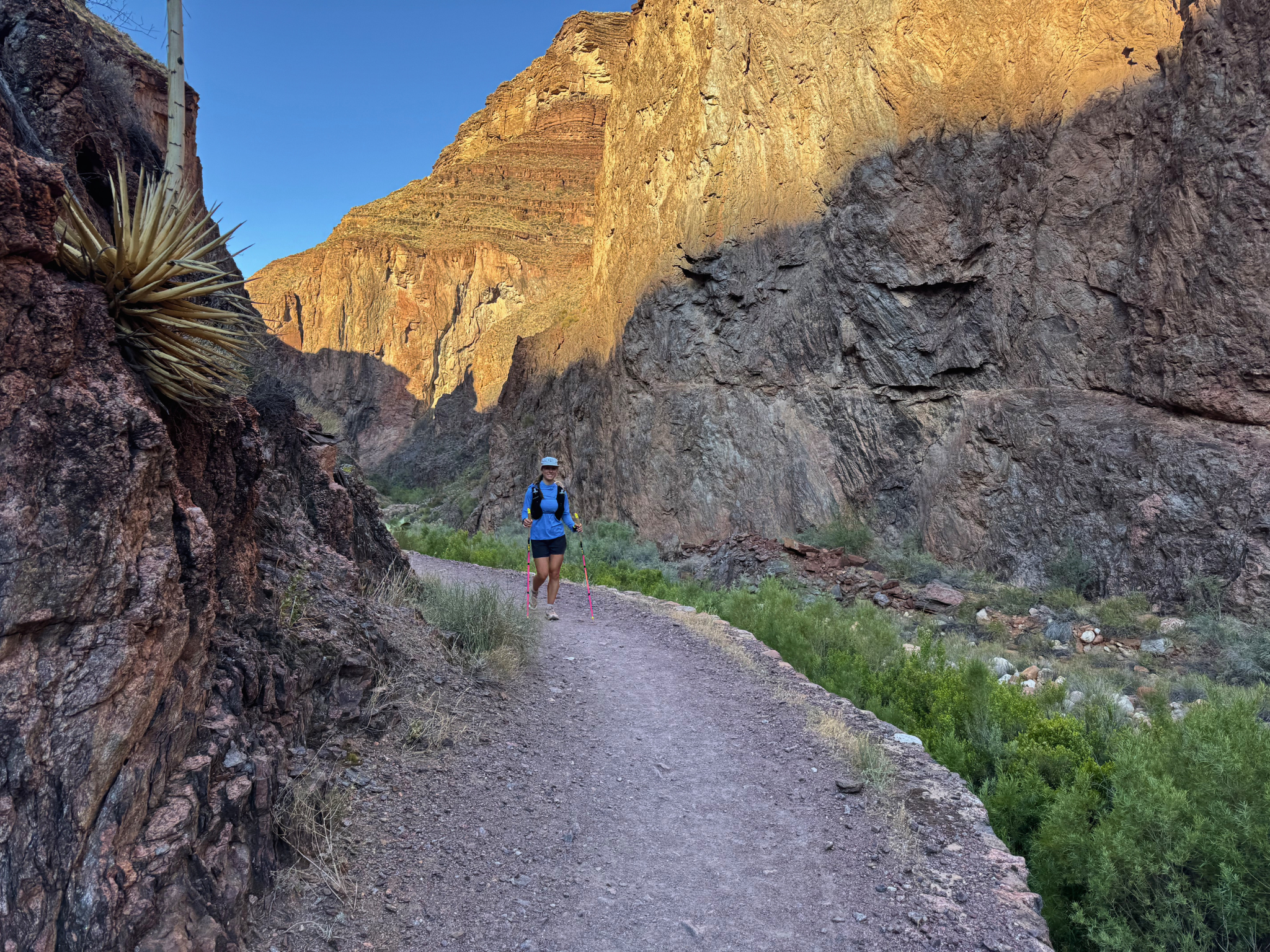
At Cottonwood, we topped off our waters to the max, knowing that our 3-liter carrying capacity would likely take us to the North Rim, where we were fortunate to have water staged at the North Kaibab Trailhead. Graciously, OAT community member Michelle Sladek had been coordinating with us for weeks on how she could run support for us during our effort. Given that there was no water or services on the North Rim following the Dragon Bravo Fire, this proved to be an invaluable asset to our success and safety. Michelle and her friend Bailey had planned a camp near the North Rim at Jacob Lake the night before, staged the car at the North Rim, and then headed out on their own hike down to Ribbon Falls and back. We'd met in Phoenix days earlier, where she'd generously lent us a cooler and passed off a spare Jeep key so we could access her car even if they weren't at the trailhead.
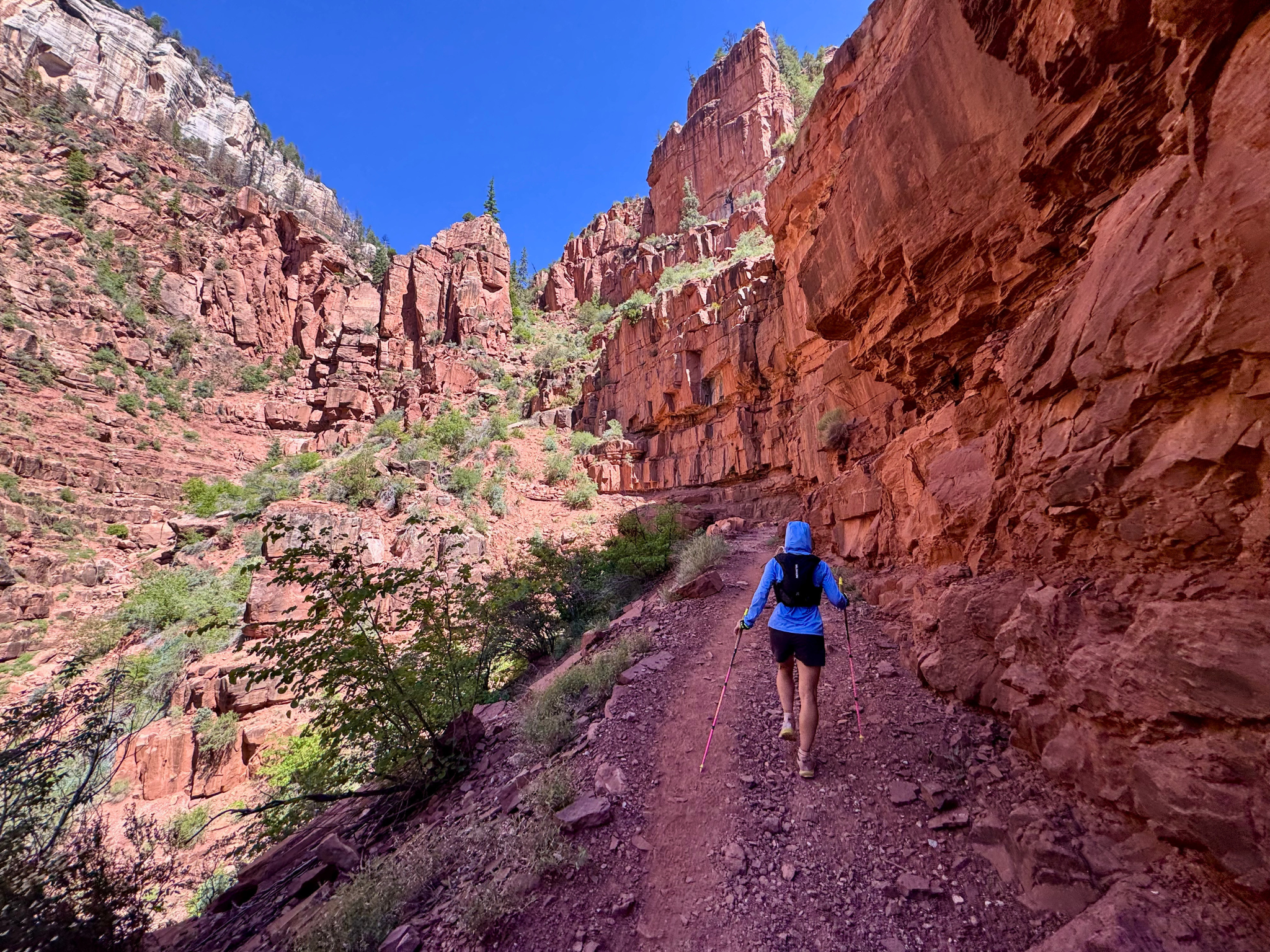
As we worked our way up the switchbacks of the North Kaibab Trail, there they were: Michelle and Bailey, with smiling faces and open arms, offering words of encouragement and getting us stoked for the goodies waiting in the parking lot. This was a huge morale boost at mile 20, and we continued to charge up the steep trail. We were fully sun-exposed at this point and feeling the heat, but moving methodically, fueling regularly, and staying hydrated.
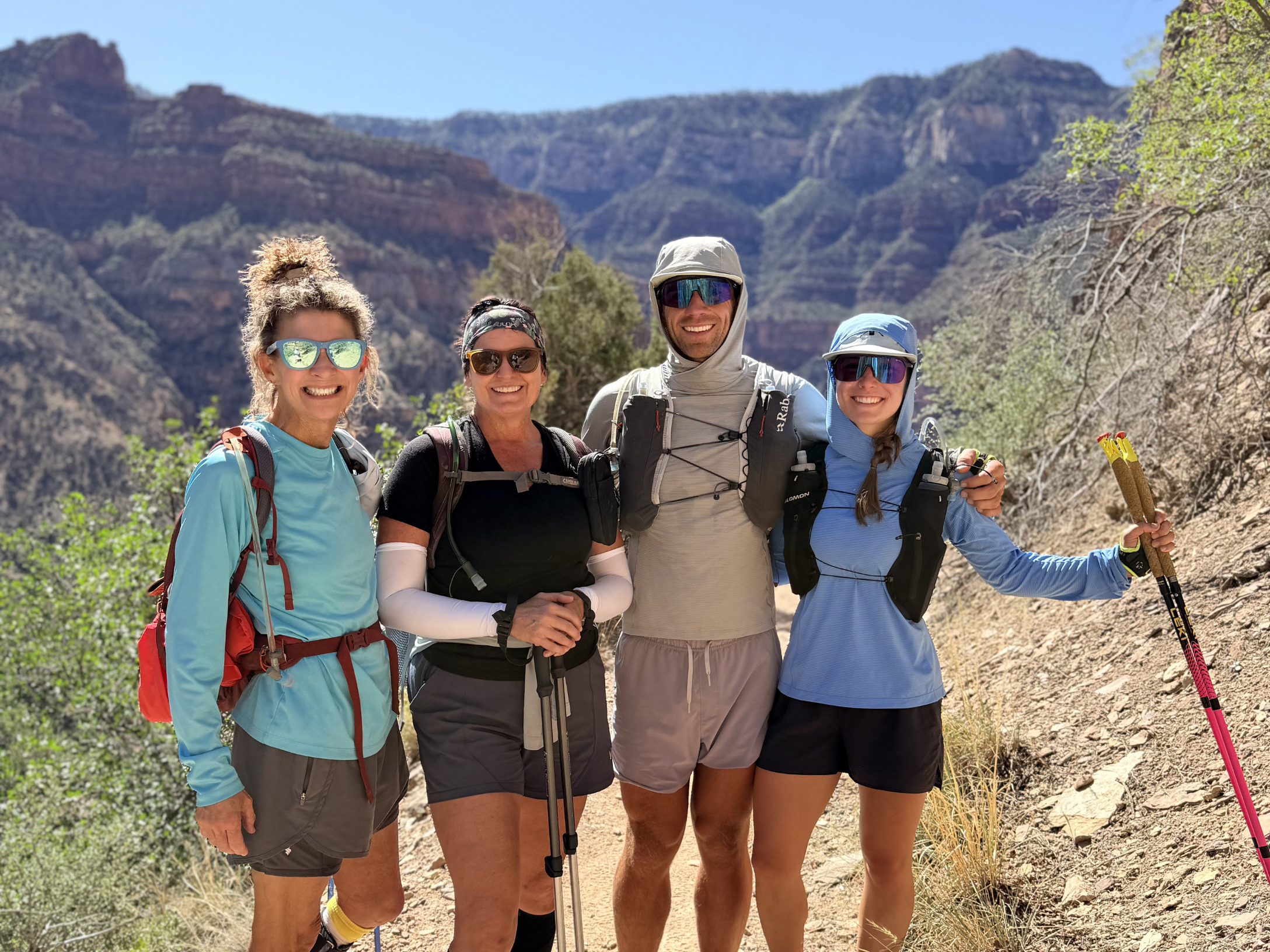
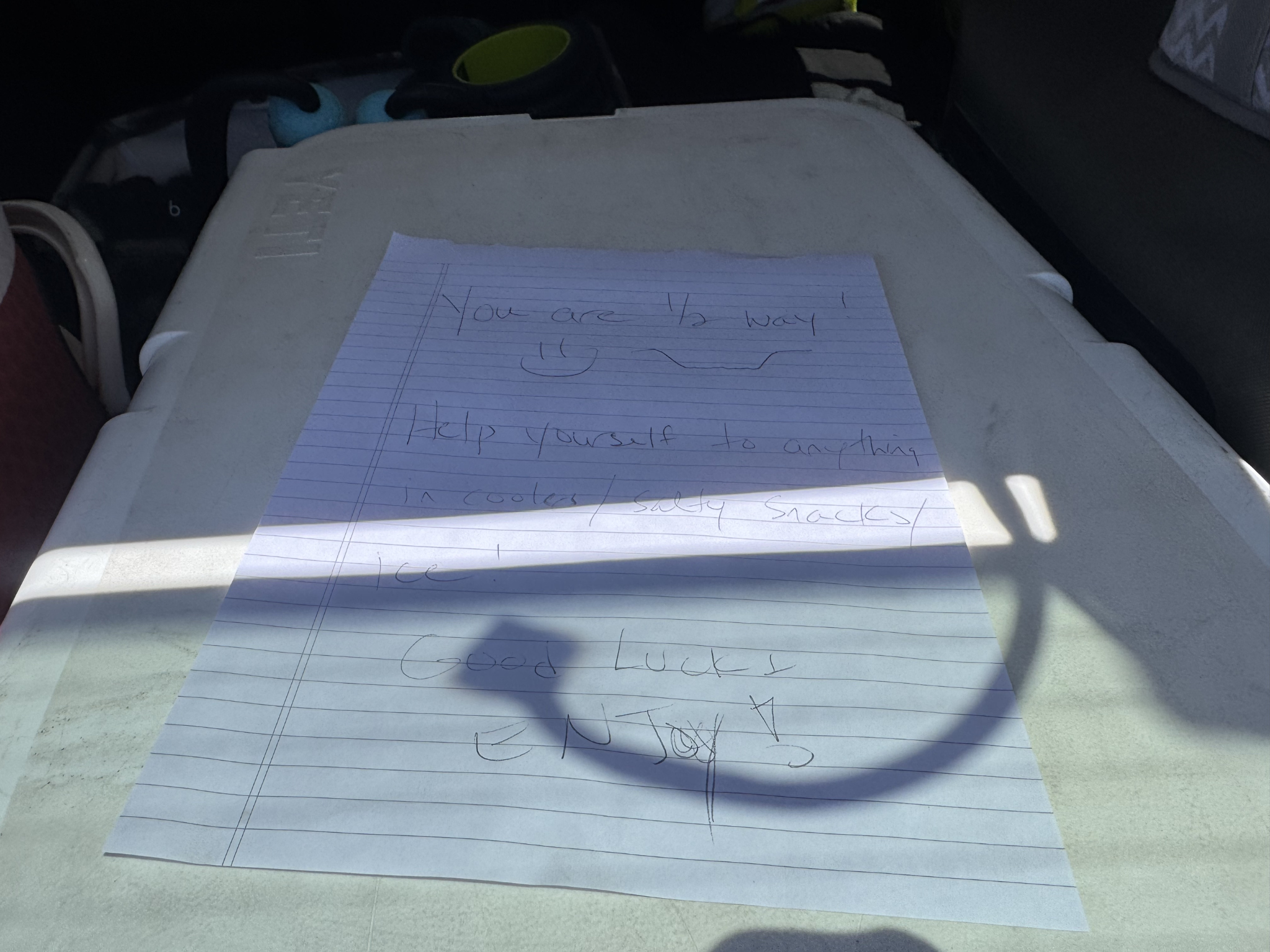
When we reached the trailhead and located the Jeep, the cooler was even better than promised: ice-cold pineapple juice, peach electrolyte drinks, pickles, pita chips, orange slices. We pounded and ate and topped off our water, replenishing body and soul. We spent about 30 minutes there.
During that time of non-movement, Emily's TFL started to lock up. Uh oh. Worst-case scenario, we were 24 miles from the trailhead, and something like this is a recipe for disaster. Luckily, Michelle had a handheld roller, and we put some myofascial work into Emily's TFL to try to coax it into cooperating for another 24-mile effort back to the South Rim.
It was a real question mark when we started moving again, but Emily reported feeling no TFL or IT band pain as we cruised down the very switchbacks we'd just slogged up. As we descended 1,000, then 2,000 feet, we started passing hiker after hiker climbing up, most of whom, to our surprise, were also doing rim-to-rim-to-rim. While it had only taken us six hours to get across, we couldn't imagine still being on the way up the North Kaibab Trail almost two hours after we'd been in their exact spots, still thousands of feet from the North Rim. We could only hope they had the same support of friends with a cooler somewhere up top, and we sent them our best wishes as we continued to glide down.
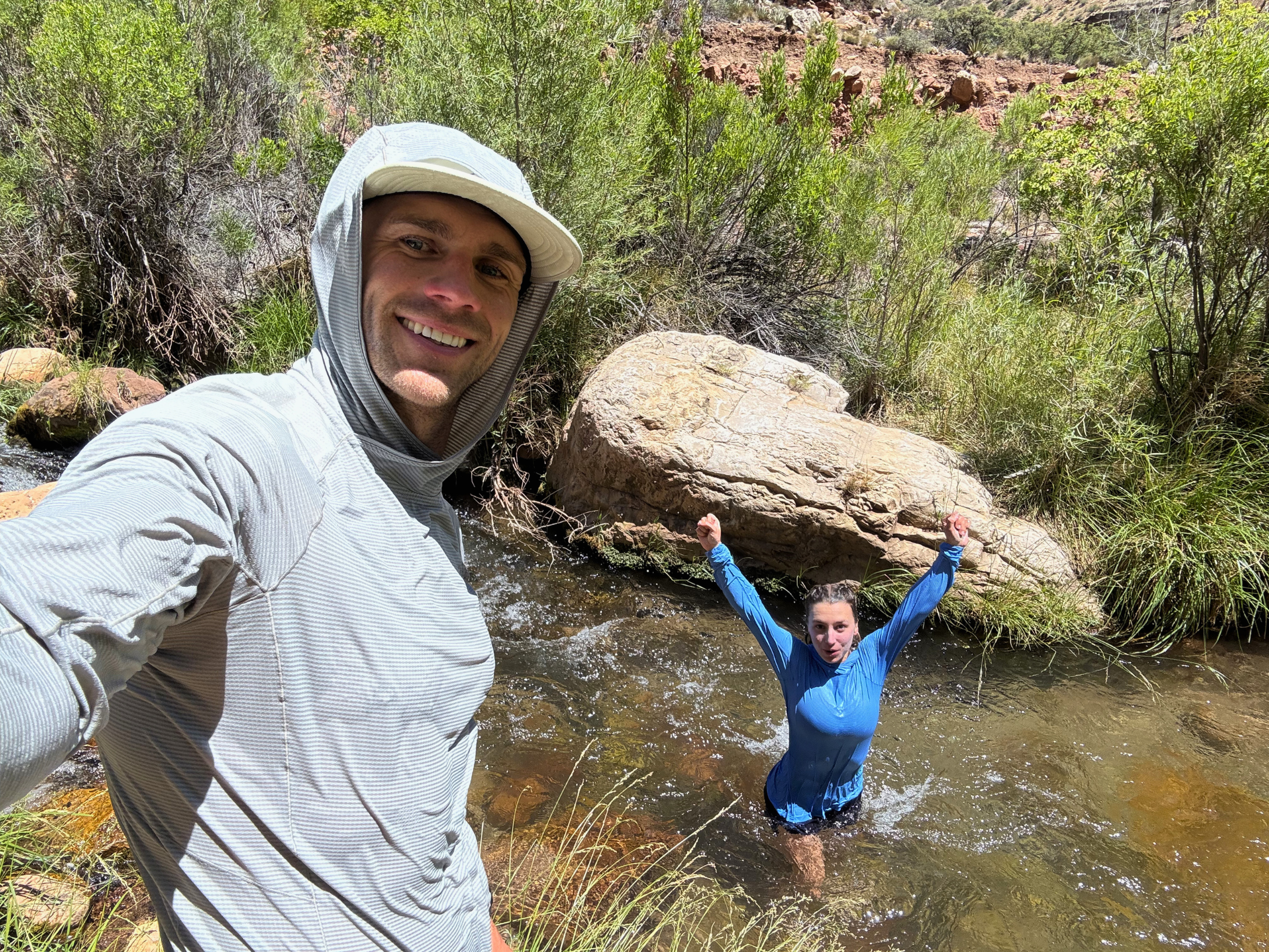
When we reached the bottom at Manzanita, where there is flowing water, we topped off. It was hot now. The desert sun was cooking us. The creek left us no option but to immerse ourselves in its cool desert oasis. Not even bothering to take our clothes off, we dunked directly in. The water cooled our body temperature and wiped off the layer of red dirt that had accumulated on our calves. I was disappointed to lose that badge of honor, but it was worth it. The evaporative cooling and the light breeze in the Canyon were enough to keep us going for quite some time without even breaking a sweat. The subtle downhill of Bright Angel Trail allowed efficient movement, only stopping occasionally to take a photo of the magnificent views inside the Canyon. Before Phantom Ranch, we stopped one last time for another dip as temps continued to soar. Another chance to cool down, clean off the feet, and reduce the likelihood of blisters.
The Climb Out
While we were feeling good, there was still one daunting task: the final climb out South Kaibab. We hit Phantom Ranch and I looked at the thermometer. 90 degrees in the shade. It was hot. We could feel it. Our feet were hot from the ground beneath us. Blown-up hikers stumbled around Phantom Ranch, reminding us that we weren't even close to the end. We still had to get out of this Canyon, waters full and ambitions high. Once again, we crossed the Black Bridge we'd crossed at dawn, and began the nearly 5,000-foot climb back up to the South Kaibab Trailhead.
Days earlier, while camping outside Sedona, a massive wind storm had swept through Oak Creek Canyon, kicking up dust and pollen and drying out the sinuses like a sponge left in the desert sun. The next morning I'd woken up with significant nasal congestion and a productive cough that stuck with me throughout our time in Arizona. At this point in the day, I was feeling the effects of what had likely morphed into a mild sinus infection. Hacking up phlegm had been a common occurrence on this hike, and on this final climb my cardiovascular system was feeling it.
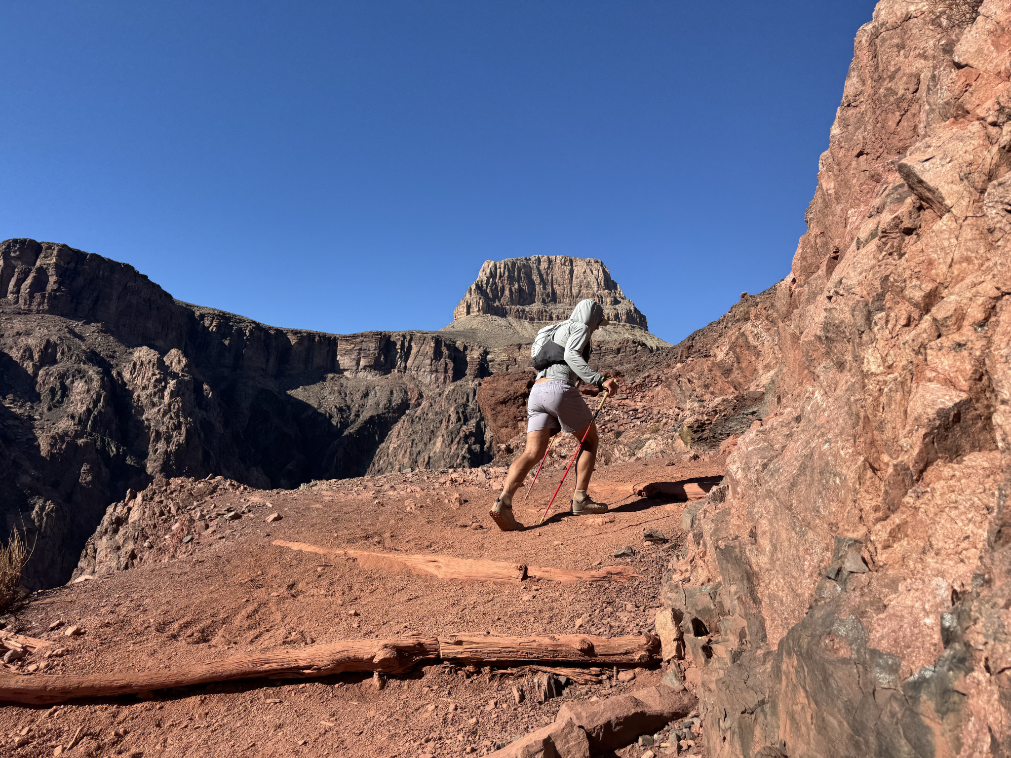
Alas, we settled into our pace and plodded along up the steep switchbacks we'd descended so effortlessly twelve hours earlier. There was only one way to do this climb, like there is only one way to do any climb, and that is one step at a time. We encouraged one another with words of affirmation: how grateful we were to be there, how spectacular the views, no matter how hot the sun felt against our sticky, now crusty hats and sun hoodies. We were doing anything to find gratitude, to be in this moment, to feel this way. We had earned this. Forty miles and many, many hours of walking had afforded this unique feeling of depletion, invigoration, and determination to reach the South Rim.
You simply had to walk. Step, pull. Step, pull. That became the rhythm. The edge was beginning to expose itself, and it was being honed with each and every step. Meticulous foot placement, step on the rock, step on the piece of wood, avoid the donkey, avoid the mule crap. Take another step. Take a deep breath. Take a sip of water. Eat a gummy, chew. Keep moving. Stopping will not get you to the rim.
I glanced at my watch: over 10,000 feet of elevation gain on the day. Finally, the sun had dipped to an angle that no longer delivered the skin-scorching heat that had roasted us in the Canyon. A cool breeze kicked up and the views became increasingly more magnificent. The temptation to stare at your feet, and only your feet, watching each step, was strong. It required an added layer of effort just to lift the head and look to the right and to the left and gaze at the grandeur of this Canyon that has inspired so many long before we'd ever been there. The trail seemed new and fresh with every step. This very section we had flown down by headlamp, oblivious to the blue views and steep exposure on either side. We crested the final ridge, and there it was: the rim, clear as day. The final switchbacks embedded into the impossibly steep cliffs at 7,000 feet to reach the trailhead. Deep in objectives like this, I often feel an overwhelming sense of gratitude and an upwelling of emotion. Seeing Emily in front of me plug away and cast a smile back was enough to fuel the soul and body to grind a little harder, to dig a little deeper, to remember why we're here. To hone that edge.
Our timing couldn't have been better as we made those final few switchbacks. The sun was slowly dipping just to the horizon. A small bank of clouds had built up to the west, and the shadow diffused the orange light into a golden glow that engulfed the entire horizon. Seeing people in street shoes and puffy jackets reminded us just how close we were. Taking photos in their excitement of the sunset, little did they know we'd been on our feet for 15 hours, grinding across this Canyon all day long.
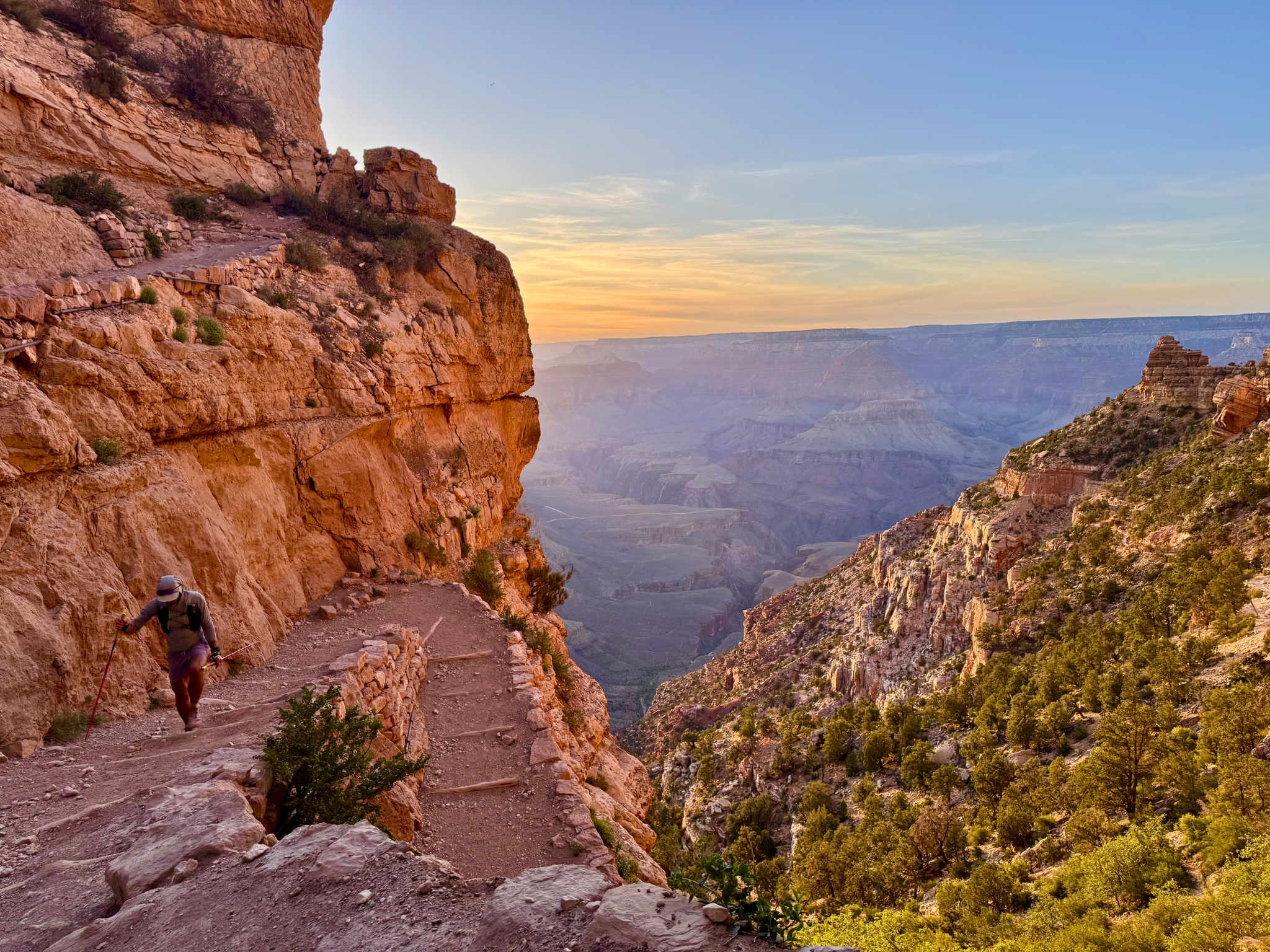
Reaching the South Rim was anti-climactic. We gave each other a hug and celebrated the accomplishment of the rim-to-rim-to-rim objective. We weren't done. We knew what lay ahead, and that was a 2.5-mile walk back to camp.
The Pavement Walk
A cool-down, we called it. A chance to decompress after a long day. A simple stroll along the edge of one of the seven wonders of the world. It was our chance to debrief, to reflect, to let the effects of today sink in.
It didn't feel like a cool-down. With the sun completely down and cars whizzing around trying to catch the last few glimpses of twilight, every step on the pavement felt heavier than any step on the trail. We didn't say much. There wasn't much to say. The headlamps came back out, the same ones we'd switched off at sunrise some 16 hours ago, and we just kept walking. No stopping. No sitting down. We walked right into our campsite, completely exhausted.
All we wanted to do was get horizontal. I boiled a pot of water and poured it into my MSR dromedary bag, hung it from our tree, and gave our neighbors a nice show as we showered in our underwear, removing the thick coating of desert dust that had coated our skin. Our appetite was none. We managed to scarf down a few snacks, got horizontal, and went to sleep.
Hone The Edge
Rim-to-Rim-to-Rim isn't for everyone. You don't need to do this to hone your edge. Everyone's edge is different, in a different place, requiring a different skill or stimulus to sharpen. We do objectives like this to inspire ourselves, to inspire others, and to remind everyone what's possible. It's important to find things like this that make you uncomfortable. Seek discomfort every day. Nothing good ever happened from a comfortable existence, though that's the world we live in.
Train With OAT
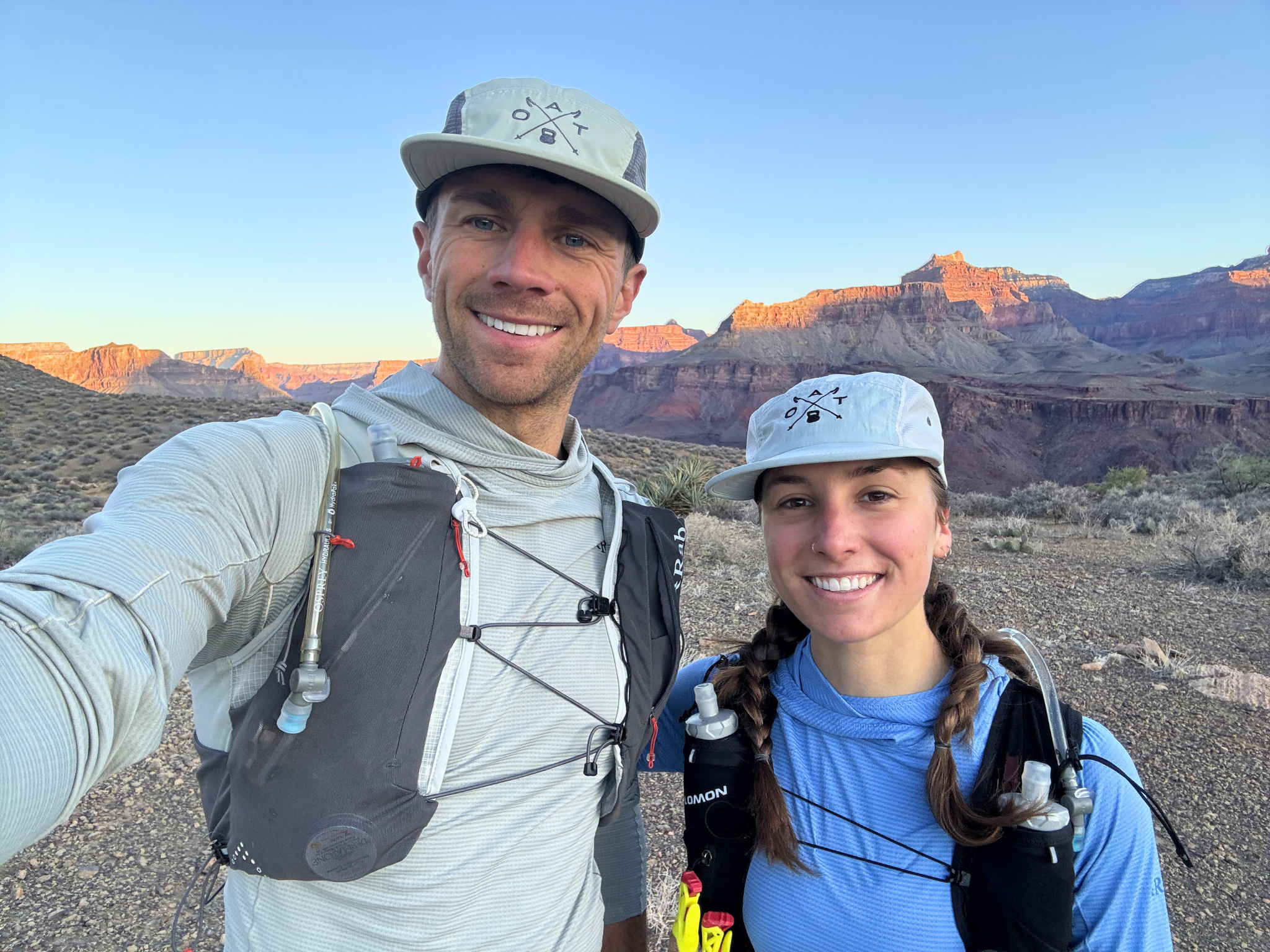
The Rim-to-Rim-to-Rim wasn't just an adventure. It was a real-world test of the same principles we build into every OAT program. Heat acclimation, altitude awareness, stability work, smart periodization, fueling, and training through setbacks. If you have an objective on your horizon and you want to show up prepared, we have programs built exactly for that.
Thanks for reading. If you have questions, drop them in the comments or send us a message. And if you've got an objective of your own being honed in the background, we'd love to hear about it.
See you on the trail.